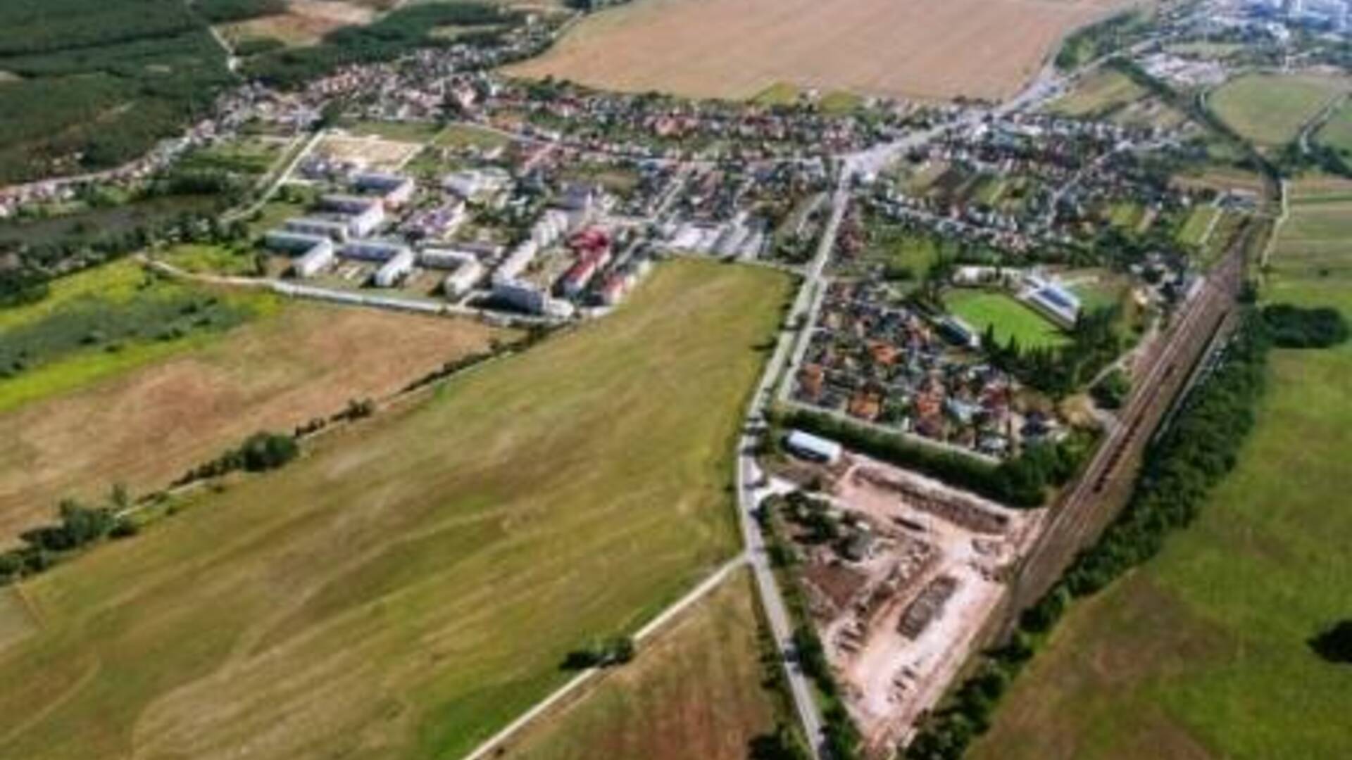
Rohožník lies in the Záhorská lowland on an alluvial cone at the foot of the Little Carpathians at an altitude of 199 m in the middle of the village, 187 to 644 m in area. The undulating flat to mid-mountain surface of the area is formed by Mesolithic limestones, dolomites, shales, sandstones, melafyry and granodiority. Rohožnícky stream and Rudávka stream flow through the village. In the northwest of the area there is a peat bog, a pond ending a group of peat bogs reaching as far as Jablonice. The village itself and its surroundings are relatively rich in groundwater. The Vajar spring springs in the cadastre of the village and the Holbagrunty, Polčina, Hajzuchová and Vývrat springs spring up in its vicinity. These springs are captured, concentrated in a reservoir and serve for the public supply of drinking water. The oldest maps of the cadastral territory of the village date from 1748 and 1767. The map from 1767 shows the names of individual localities. Their naming proves the presence of different ethnic groups in the past. Northeastern part - Padelky, Passezski, Pod Vratim, Prostredni Achtele, Zadni Achtele, Pod Papirnu, U Bazsantnicze, Welki Lesik, Kaltenbruck. Northern and northwestern part - Obora, Planavi, Orlove Verchi, Ribnik. Western part - Pri pastirskich Luczkych, Pri Dubniczkoch, Tojtne, Dzilca, Koncza Dzilczu, Pod Czestu, Dluhe Luki, Koncza Dluhich, Pod Struhu, Neubach. Southwestern part - Dušnica, Franwiz, W Kruzskoch, Nad Struhu, U Dolni Bukovini, U Wisni Bukovini. Southern part - Lazek, Konopizse, U Gortnawi, Pod Vinohradki, Szlaniszka, Nad Szlaniszki, Za Vinohradki, Kraluv Verch, Pod Kralovim verchem, Pri Sedmi Thaloch, U Sedmi Thaluw, U Szadni Nivi. Southeastern part - Za Sztepniczu, U Hurbanki, Za Letavskim, Hurka Pod Hurkama. Eastern part - Zahumenicte, U Brizstia, Wajerska Hora, Pod Wajersku Hora. The vast pond, streams, forests, meadows, fields and mild climate lured the first inhabitants to settle here. Their presence is evidenced by the many artifacts they left us.

 Slovak
 Czech
Czech
 Hungarian
 German