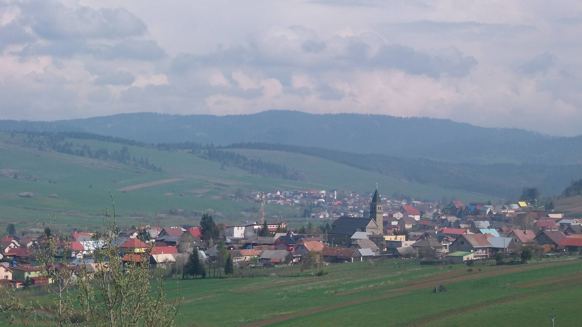
The cadastral territory of the village of Babín is orographically integrated into the system of outer (flysch) Western Carpathians, the Central Beskydy region, the Oravská Magura unit, the Budín Magura subunit and the Podhôľno-Magurská region, the Oravská kotlina unit, the Hruštínské podolia unit. It has an area of 1739 ha.
The cadastral territory of the village of Babín is orographically integrated into the system of outer (flysch) Western Carpathians, the Central Beskydy region, the Oravská Magura unit, the Budín Magura subunit and the Podhôľno-Magurská region, the Oravská kotlina unit, the Hruštínské podolia unit. It has an area of 1739 ha.

 Slovak
 Czech
Czech
 Hungarian
 German