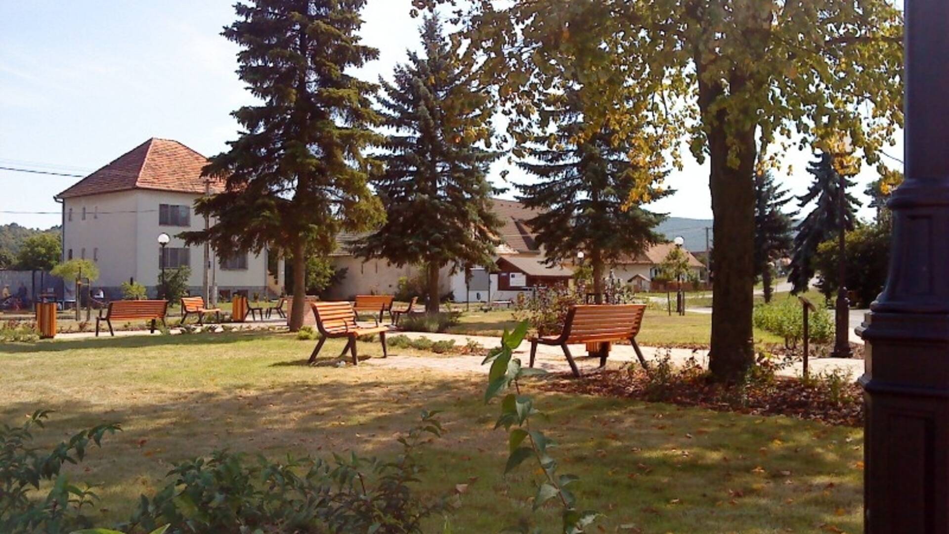
The village of Babiná lies on the edge of the Pliešovská basin near the important road Šahy - Zvolen. The cadastral borders have in common with the villages of Sása, Dobrá Niva, Banský Studenec, Svätý Anton and the town of Krupina. The center of the village is also a crossroads of hiking trails - especially the Red Highway.
The village of Babiná lies on the edge of the Pliešovská basin near the important road Šahy - Zvolen. The cadastral borders have in common with the villages of Sása, Dobrá Niva, Banský Studenec, Svätý Anton and the town of Krupina. The center of the village is also a crossroads of hiking trails - especially the Red Highway.

 Slovak
 Czech
Czech
 Hungarian
 German