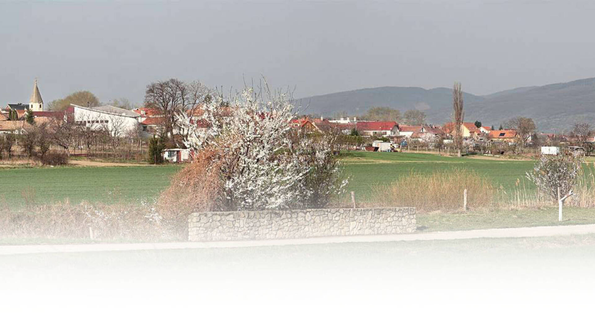
The village of Košolná is located 12 km northwest of the district town of Trnava. The cadastral area with an area of 959 hectares is adjacent to Boleráz in the north, with Suchá nad Parnou in the east and south and with the cadastre of Dlha and Dolné Orešany in the west. The altitude of the terrain varies in the amplitude of 165 to 208 m above sea level, the center of the village is 180 m above sea level. Geographically, the village is characterized by coordinates 48 ° 25 ′ north latitude and 17 ° 27 ′ east longitude. From the hydrogeological point of view, the cadastre of the village Košolná lies in the area with the occurrence of artesian wells.
The village of Košolná is located 12 km northwest of the district town of Trnava. The cadastral area with an area of 959 hectares is adjacent to Boleráz in the north, with Suchá nad Parnou in the east and south and with the cadastre of Dlha and Dolné Orešany in the west. The altitude of the terrain varies in the amplitude of 165 to 208 m above sea level, the center of the village is 180 m above sea level. Geographically, the village is characterized by coordinates 48 ° 25 ′ north latitude and 17 ° 27 ′ east longitude. From the hydrogeological point of view, the cadastre of the village Košolná lies in the area with the occurrence of artesian wells.

 Slovak
 Czech
Czech
 Hungarian
 German