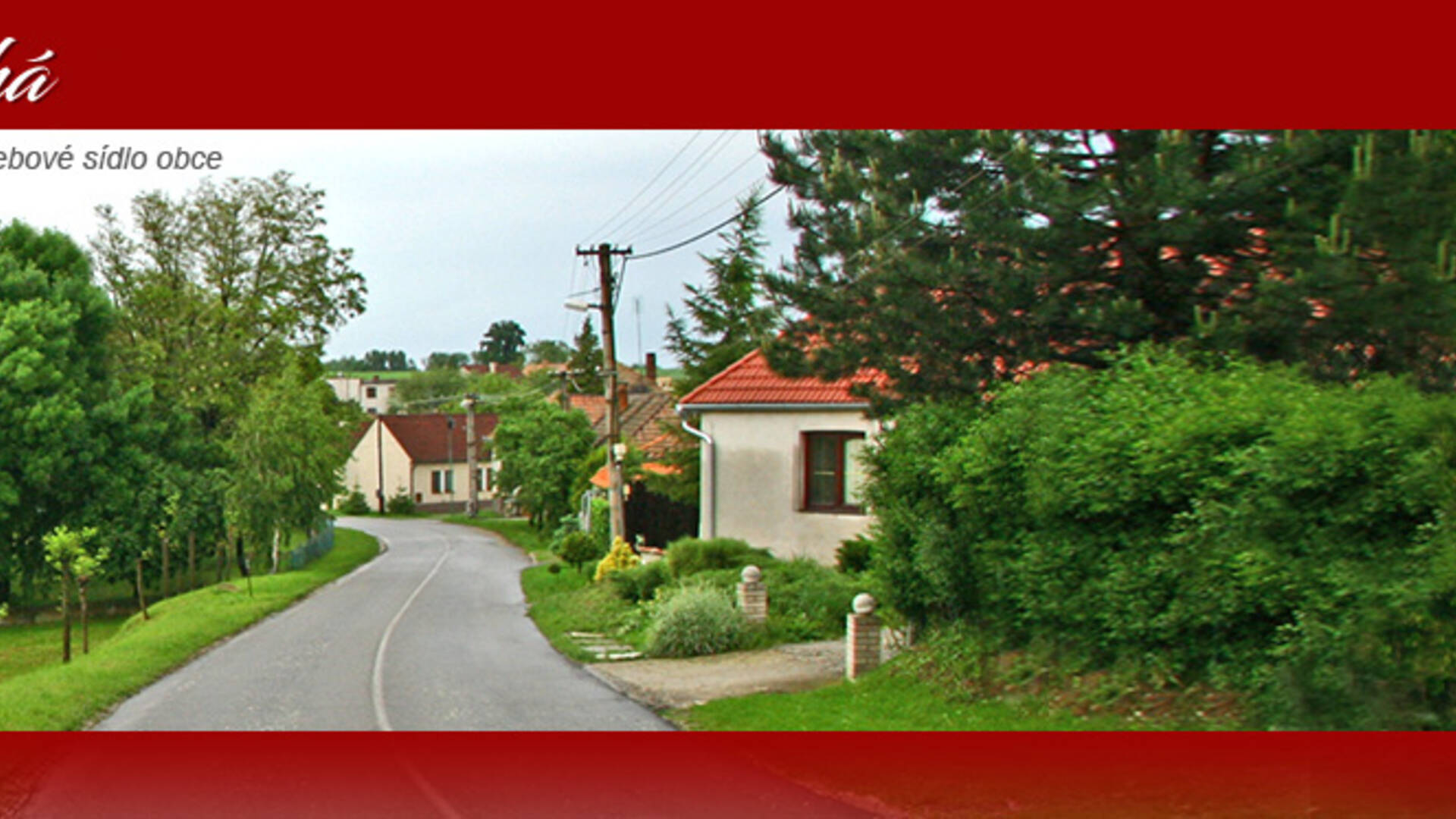
The village of Dlhá is located in the southwestern part of the Trnava district. Its cadastral territory with an area of 1181 ha is adjacent to Dolní Orešany in the north, Košolná and Suchá nad Parnou in the east, Ružindol and Borová in the south and Doľany in the west. The center of the village has a height of 185 m above sea level, in the area it ranges from 180 to 222 m above sea level. The position of the village is determined by the coordinates: 48 ° 24'30 "north latitude and 17 ° 25'00" east longitude.
The village of Dlhá is located in the southwestern part of the Trnava district. Its cadastral territory with an area of 1181 ha is adjacent to Dolní Orešany in the north, Košolná and Suchá nad Parnou in the east, Ružindol and Borová in the south and Doľany in the west. The center of the village has a height of 185 m above sea level, in the area it ranges from 180 to 222 m above sea level. The position of the village is determined by the coordinates: 48 ° 24'30 "north latitude and 17 ° 25'00" east longitude.

 Slovak
 Czech
Czech
 Hungarian
 German