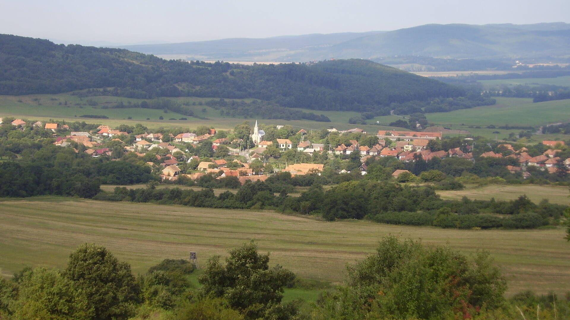
The village of Jabloňovce lies in the Štiavnica Mountains in the basin of the Jablonianka stream. The center of the village is located at an altitude of 290 m and the area at a height of 247-574 m. Mostly deforested to upland areas of the area are tuffs, tuffites and andesites. Only the upland part is forested. The soils are brown and illimerized.
The village of Jabloňovce lies in the Štiavnica Mountains in the basin of the Jablonianka stream. The center of the village is located at an altitude of 290 m and the area at a height of 247-574 m. Mostly deforested to upland areas of the area are tuffs, tuffites and andesites. Only the upland part is forested. The soils are brown and illimerized.

 Slovak
 Czech
Czech
 Hungarian
 German