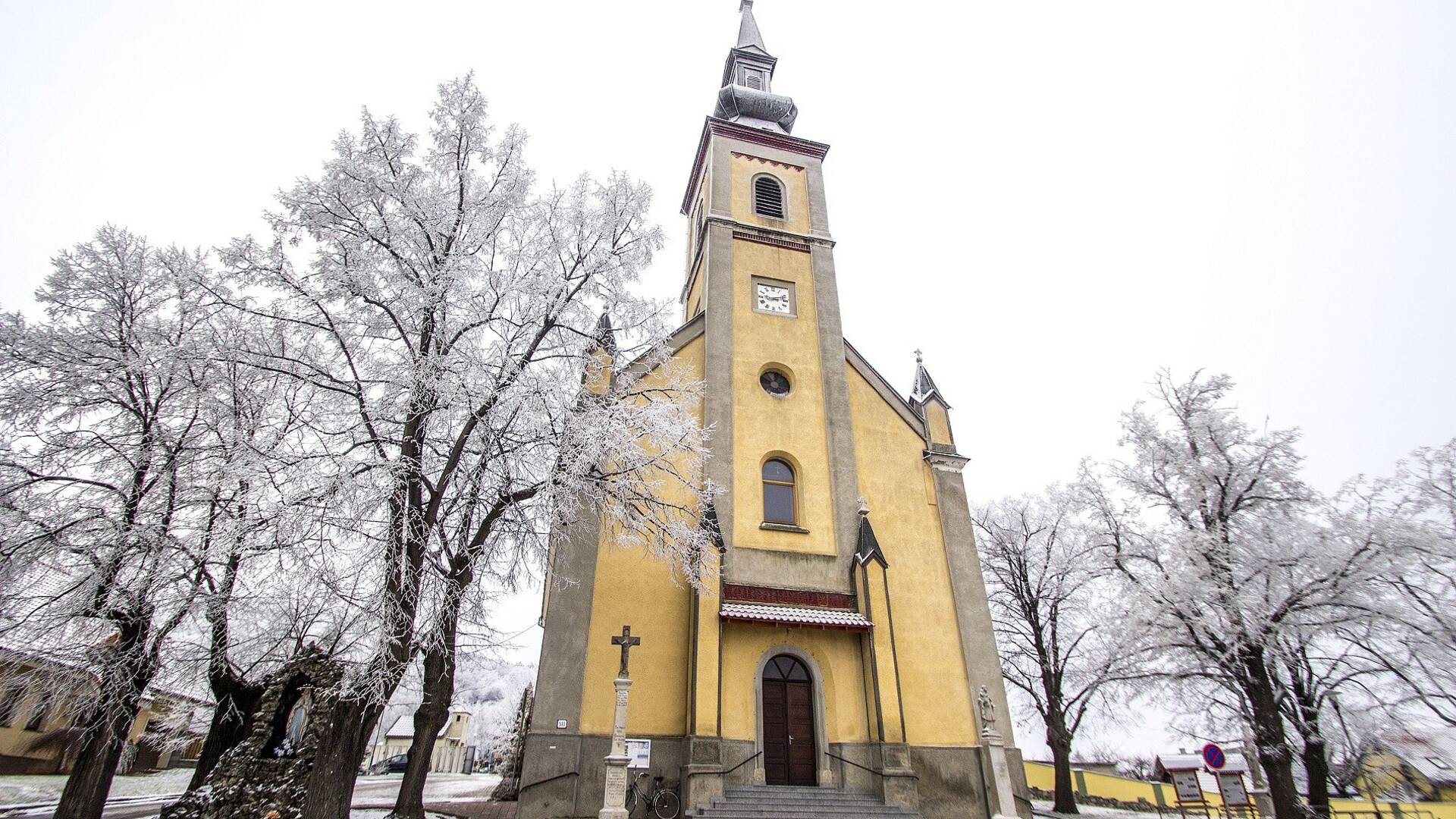
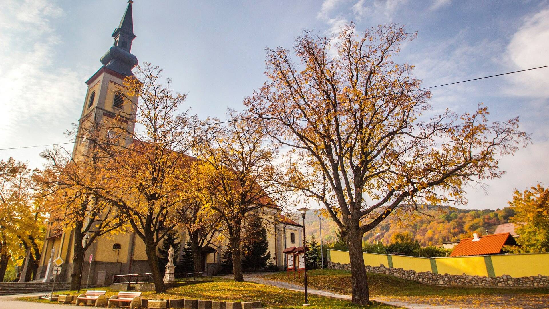
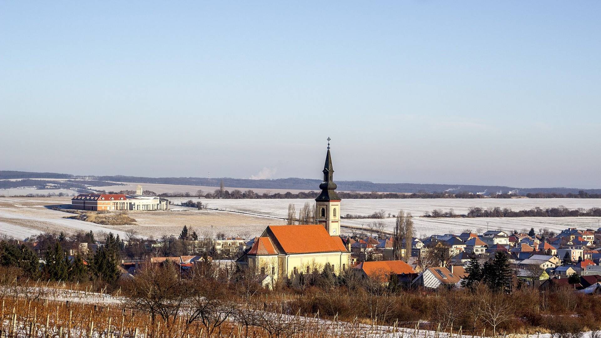
The village of Horné Orešany is located in the western part of the Trnava district, 15 km from the regional town of Trnava. The cadastre of the village belongs to the Lesser Carpathian region, where 52% of the territory consists of forests. Above the village is Slepý vrch with 534.9 m above sea level. Between the village center and the local part of Majdánske is the Horné Orešany reservoir. The village has a rural - agricultural character, where in addition to plant and animal production is also important viticulture, where the village became famous "Orešanský red".
The village of Horné Orešany is located in the western part of the Trnava district, 15 km from the regional town of Trnava. The cadastre of the village belongs to the Lesser Carpathian region, where 52% of the territory consists of forests. Above the village is Slepý vrch with 534.9 m above sea level. Between the village center and the local part of Majdánske is the Horné Orešany reservoir. The village has a rural - agricultural character, where in addition to plant and animal production is also important viticulture, where the village became famous "Orešanský red".
Horné Orešany are documented in a document from 1296 as Dious. In 1390, Orešany was already called Villa Nucum Theutonicalis, later in German Ober-Nussdorf, Hungarian Német Diós, or Felső Diós. Administratively, Horné Orešany was incorporated into the Bratislava capital, in the district of Trnava. The village was established on the edge of a guarded border pass. On its other side, the villages of Plavecké Podhradie and Plavecký svätý Mikuláš were established. Via Magna - Veľká cesta or Via Bohemica - Česká cesta passed through this pass.

 Slovak
 Czech
Czech
 Hungarian
 German