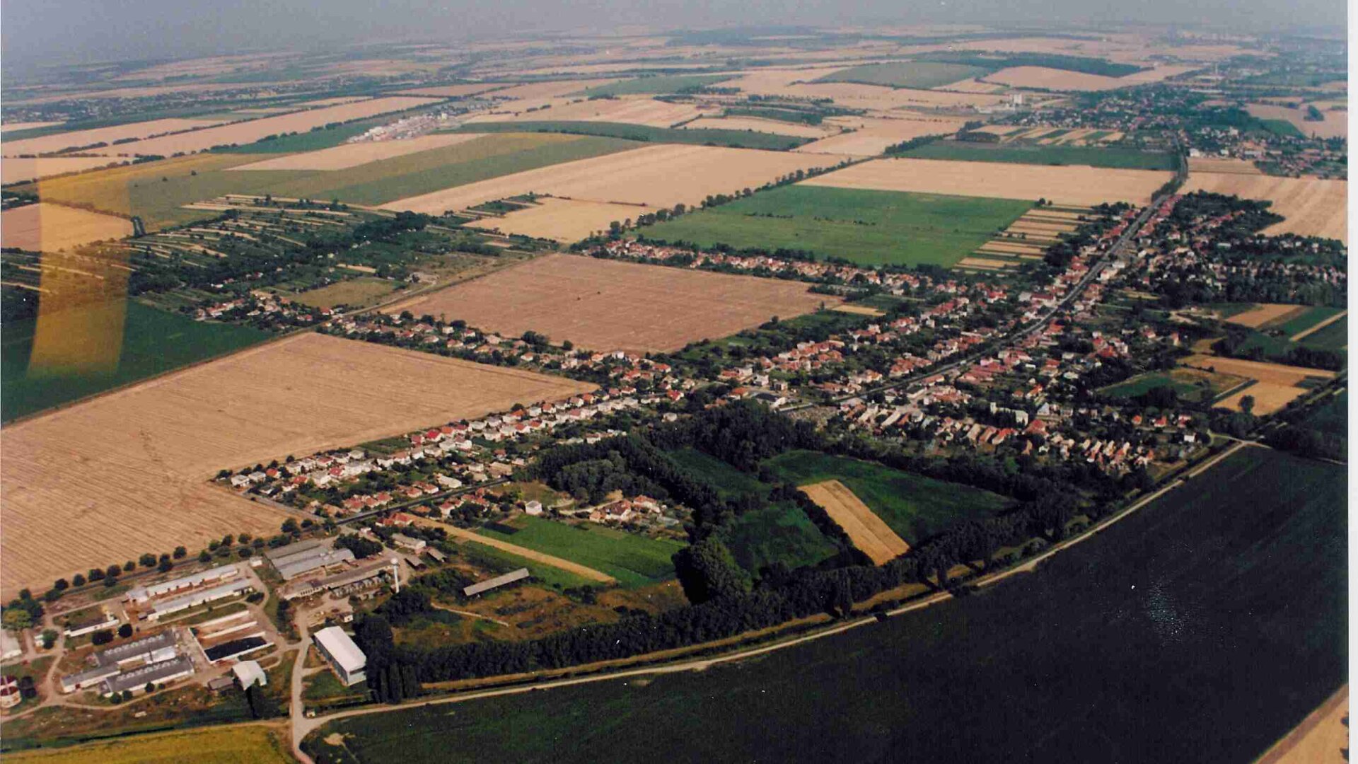
The cadastre of the village of Branč is located in the south of the Nitra district, which is situated in its northwestern part within the Nitra region. The area of the Branča cadastre is 1381 hectares. In the north it borders with the cadastre of the village Ivánka near Nitra, in the west with the cadastres of the villages Mojmírovce and Štefanovičová, in the south with the cadastre Veľký Kýr district Nové Zámky and in the east with the cadastral territory Veľký Cetín. The highest altitude is 175 meters above sea level. The village lies on the main road Nitra - Nové Zámky.
The cadastre of the village of Branč is located in the south of the Nitra district, which is situated in its northwestern part within the Nitra region. The area of the Branča cadastre is 1381 hectares. In the north it borders with the cadastre of the village Ivánka near Nitra, in the west with the cadastres of the villages Mojmírovce and Štefanovičová, in the south with the cadastre Veľký Kýr district Nové Zámky and in the east with the cadastral territory Veľký Cetín. The highest altitude is 175 meters above sea level. The village lies on the main road Nitra - Nové Zámky.

 Slovak
 Czech
Czech
 Hungarian
 German