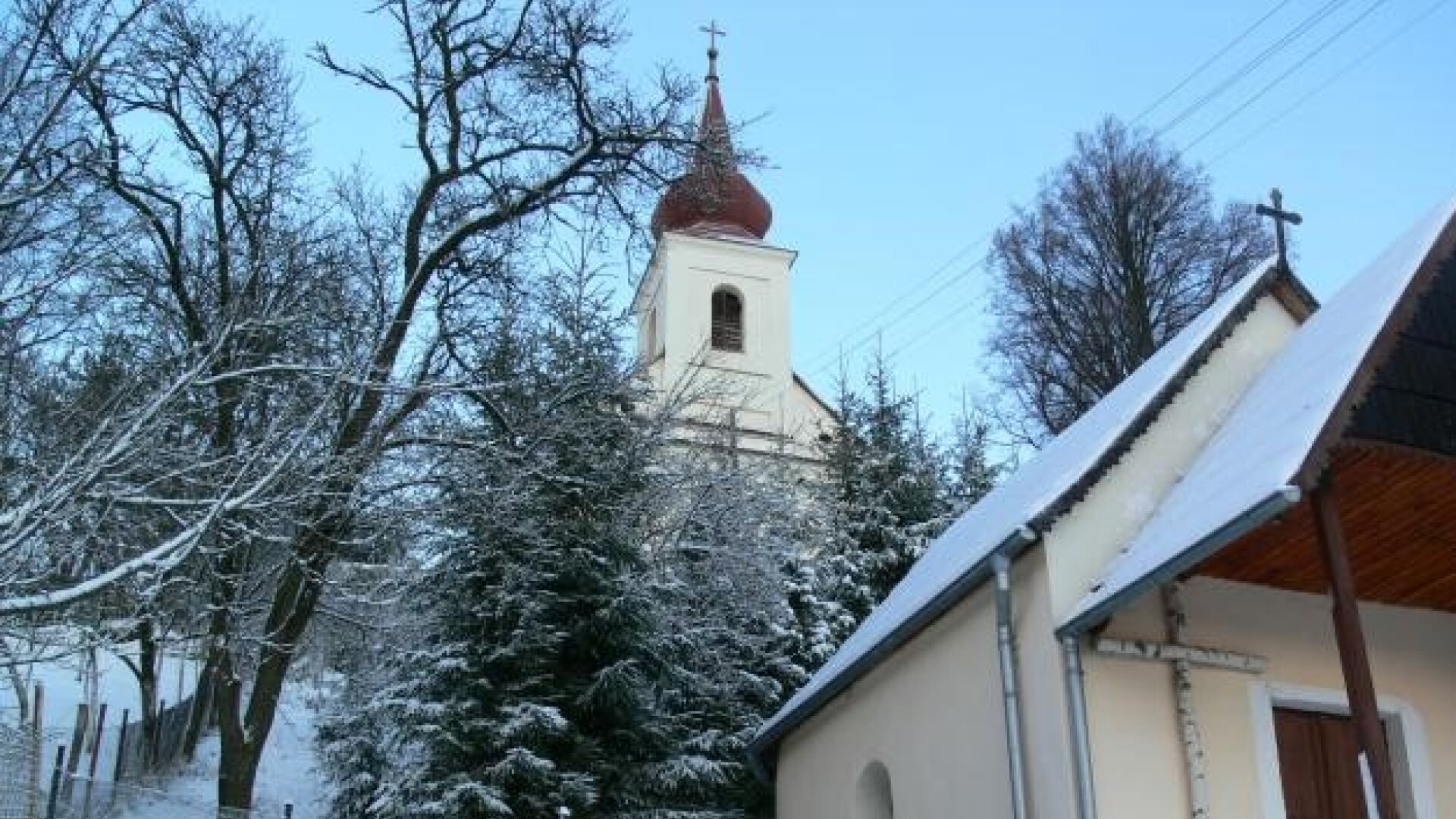
Three versions have been preserved about the establishment and origin of the village of Podkriváň:
The first, according to the Žižívo officials, was based on the fact that fairs were held on the border of Novohradská and Zvolenská stolice. The name Trhanovský most has been preserved east of Podkriváň, from where the road to Dolna Bzová leads. This claim is also based on the name of the local part of Trhovisko, where the goods were allegedly driven and the fairs were carried. The second version is based on the inclusion of Podkriváň in the parish of Divín and the village of Divín. The village expanded, a church, a rectory, a school, a notary's office were added, and it gradually broke away from the parish. It is said that the people of Divín mockingly named the inhabitants of the village "Trhanovci" and the new village "Trhanová" out of revenge. Well, the third reason is that the houses in the village were broken up and far from each other for a long time, that is, torn apart - and that's how the name "Trhanová" came to the village ".
The surroundings of Trhanová belonged to the Žičiov manor
On August 12, 1872, the railway line Šalgotarián - Lučenec - Zvolen - Vrútky was completed, a 326 m long tunnel was being built near Podkriváni.
At that time, the inhabitants of Trhanová were engaged in agriculture, cattle and sheep breeding and partly in carriage, they worked on the railway, in industry, and supported themselves by crafts. The village reached its maximum population of 2,260 in 1894, in that year there was already a notary's office, later a gendarme station, post office, telegraph, railway station were added /1920/.
Since 1920, the name of the village Podkriváň has been used.
An important event took place on September 13, 1930, when the President of the Czechoslovak Republic, Tomáš G. Masaryk, stopped in Podkriván and received a warm welcome.
Part of the village Dolná Bzová located 2 km northeast, its history is older than Podkriváňa - Bzova Puszta, as it was then called, in the Middle Ages until the end of the 19th century, it was an independent village of the Divín Manor. In the years 1849-1850, a new glass factory was built here, greenish hollow and plate glass was produced here.

 Slovak
 Czech
Czech
 Hungarian
 German