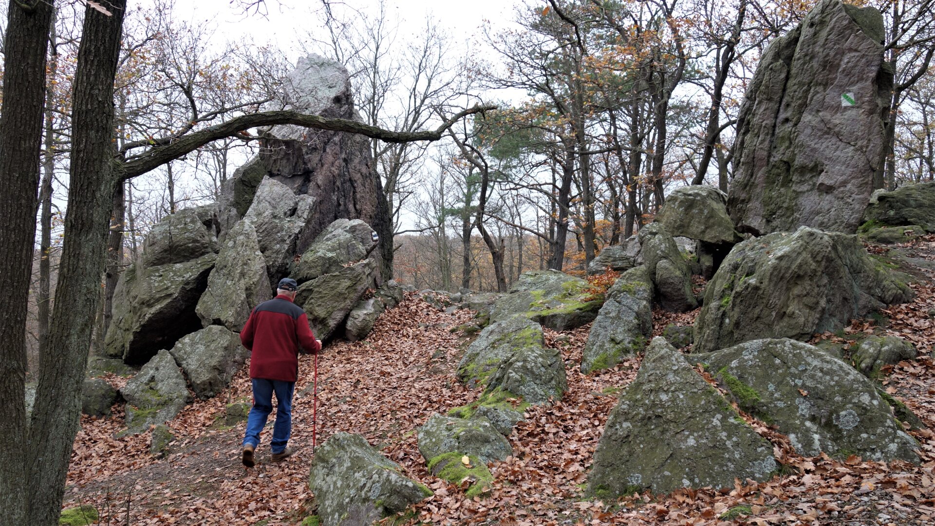
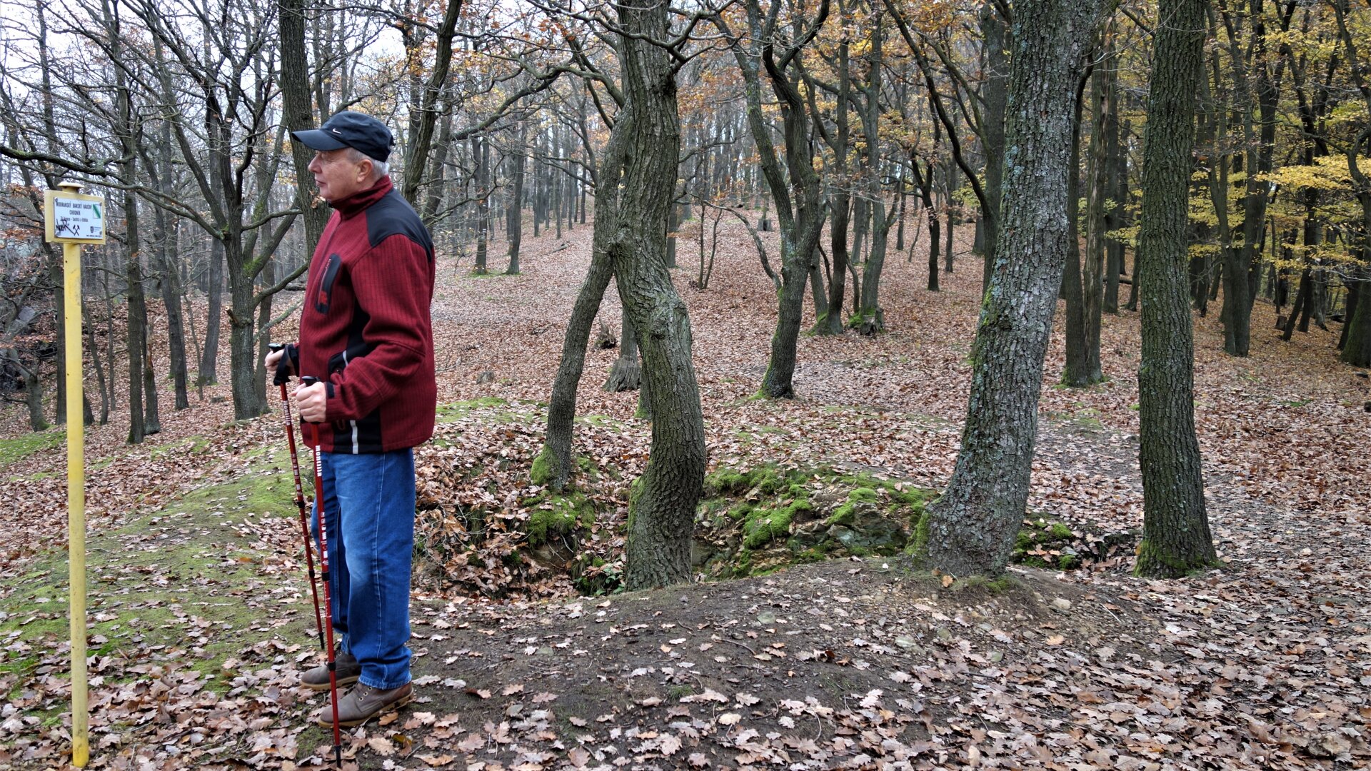
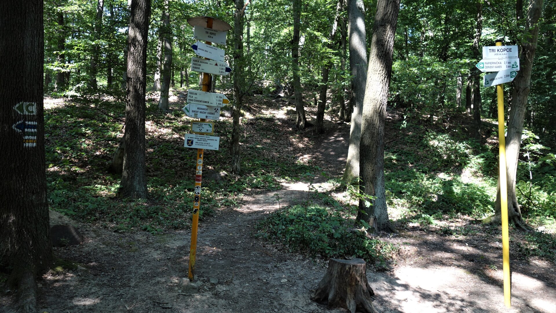
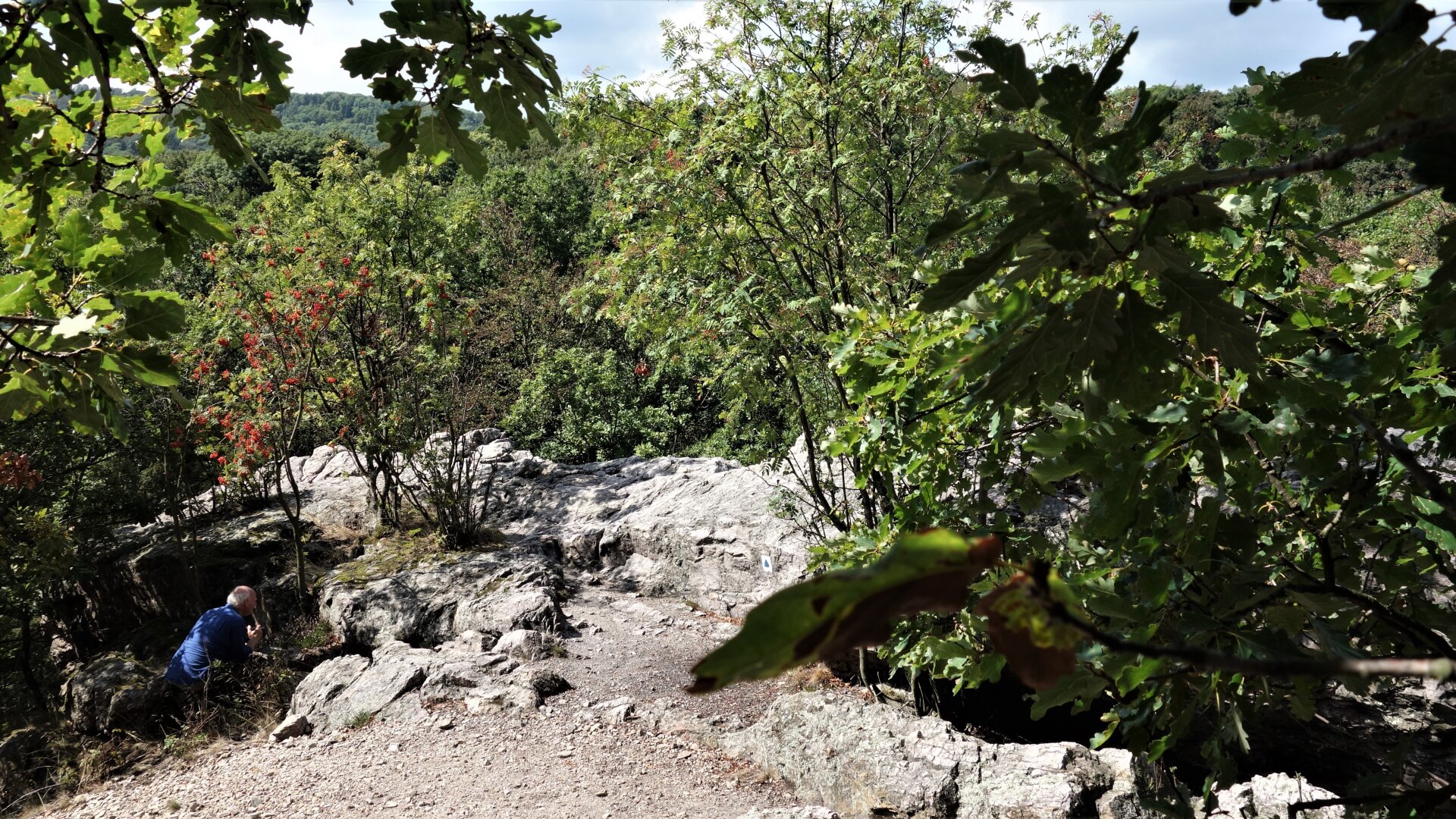
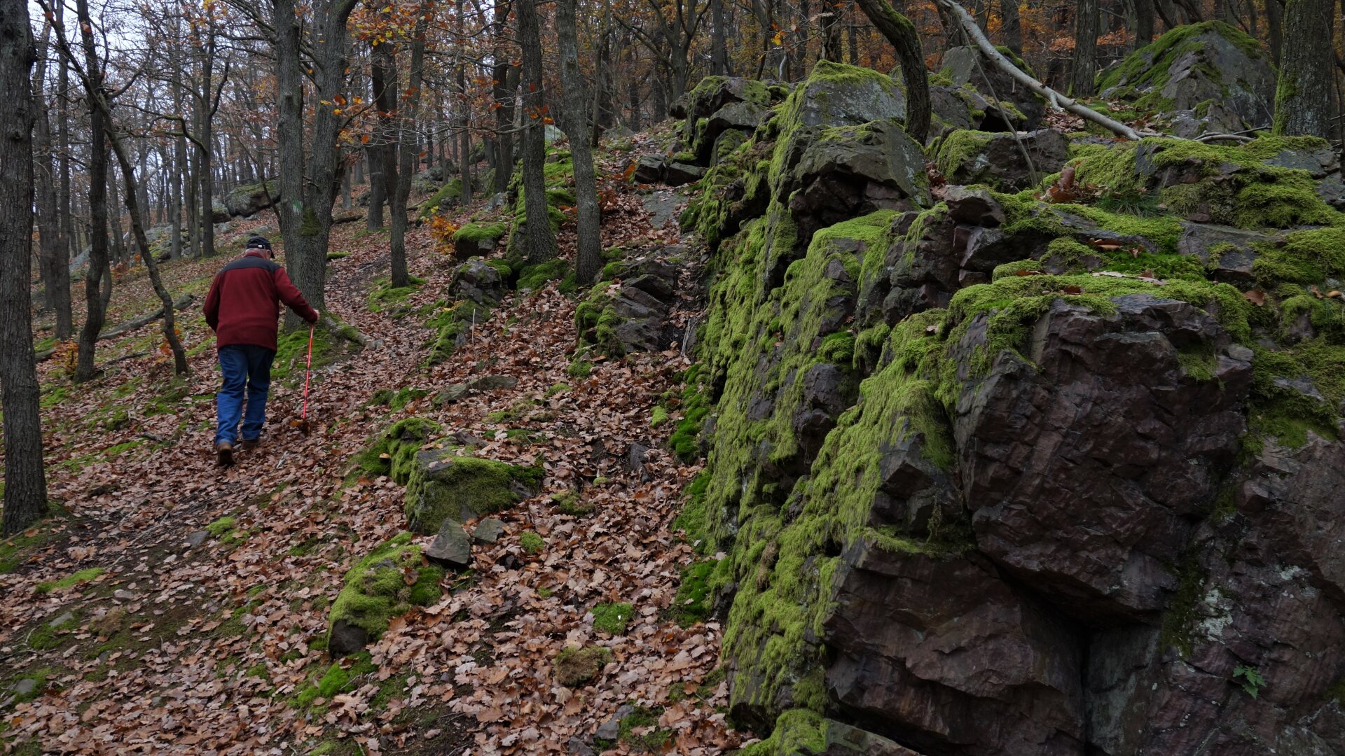
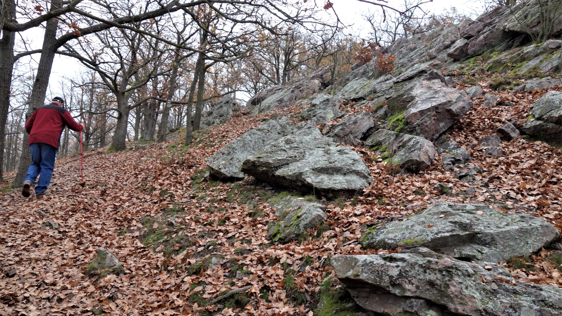
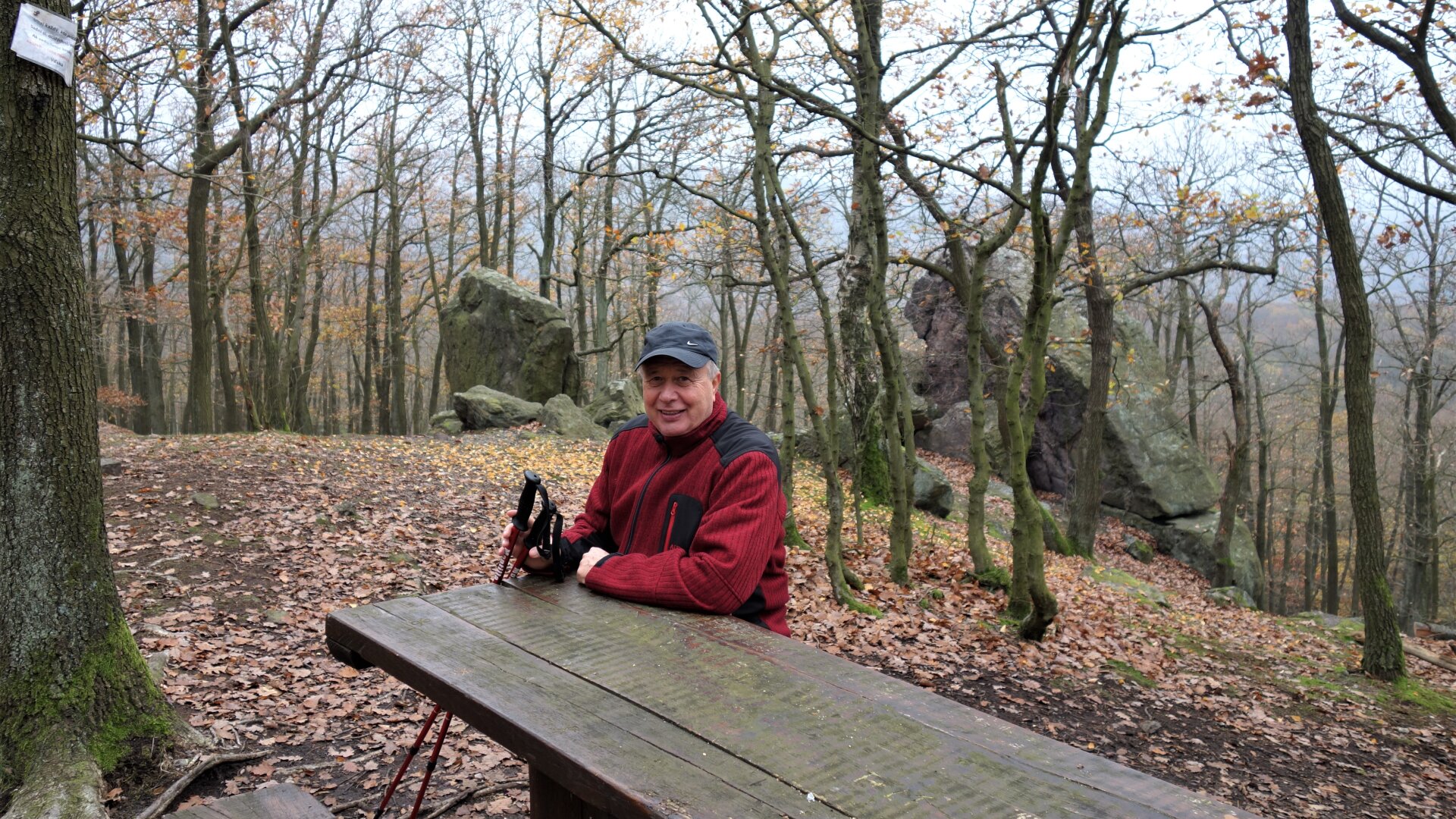
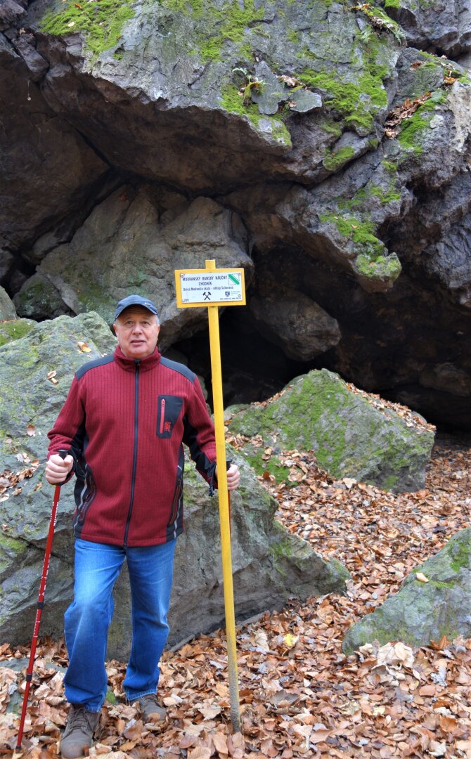
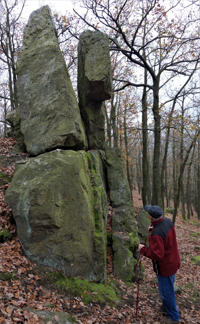
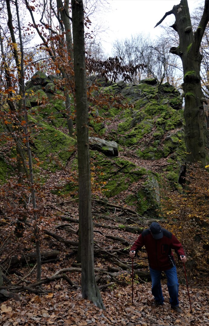
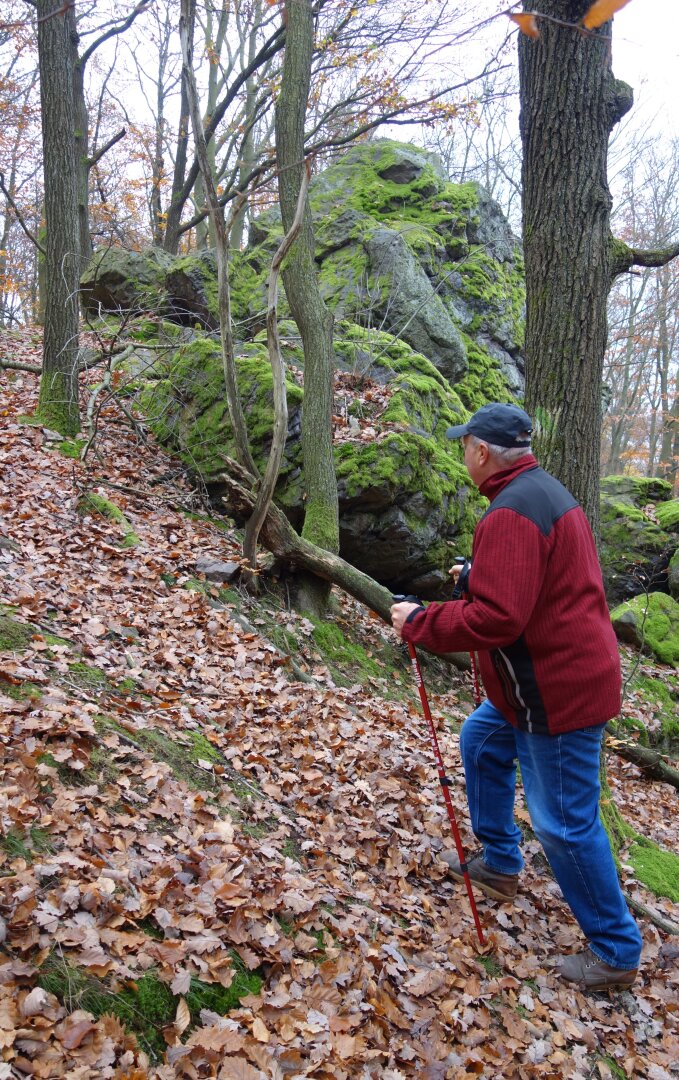
Focus of the trail: mining, historical, natural history. Length, elevation: 3.2 km, elevation 170 m. The educational trail is in good condition, but apart from tourist signs, the route is insufficiently marked, some stop signs are also missing. Text guide: flyer Modranský minský náucný path (published by OZ Club of Friends of Tourism and OZ Protection of Health and Environment, 2013); the description of the stops is also on the trail page.
Focus of the trail: mining, historical, natural history. Length, elevation: 3.2 km, elevation 170 m. The educational trail is in good condition, but apart from tourist signs, the route is insufficiently marked, some stop signs are also missing. Text guide: flyer Modranský minský náucný path (published by OZ Club of Friends of Tourism and OZ Protection of Health and Environment, 2013); the description of the stops is also on the trail page.

 Slovak
 Czech
Czech
 Hungarian
 German