What is worth seeing on the nature trail and in the area
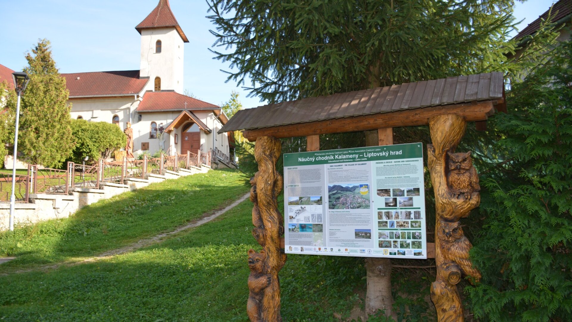
Kalameny. A village in the northwestern part of the Liptov Basin in the valley of the Kalamenianka stream springing in Chočské vrchy. The first written mention of the village comes from the year 1264, when it was acquired by the lord Kelemen, from whose name its name was derived. The history of the village is closely connected with the Liptov Castle. In the village is the Church of St. Peter and Paul, in front of which stands a wooden sculpture of St. Cyril and Methodius.
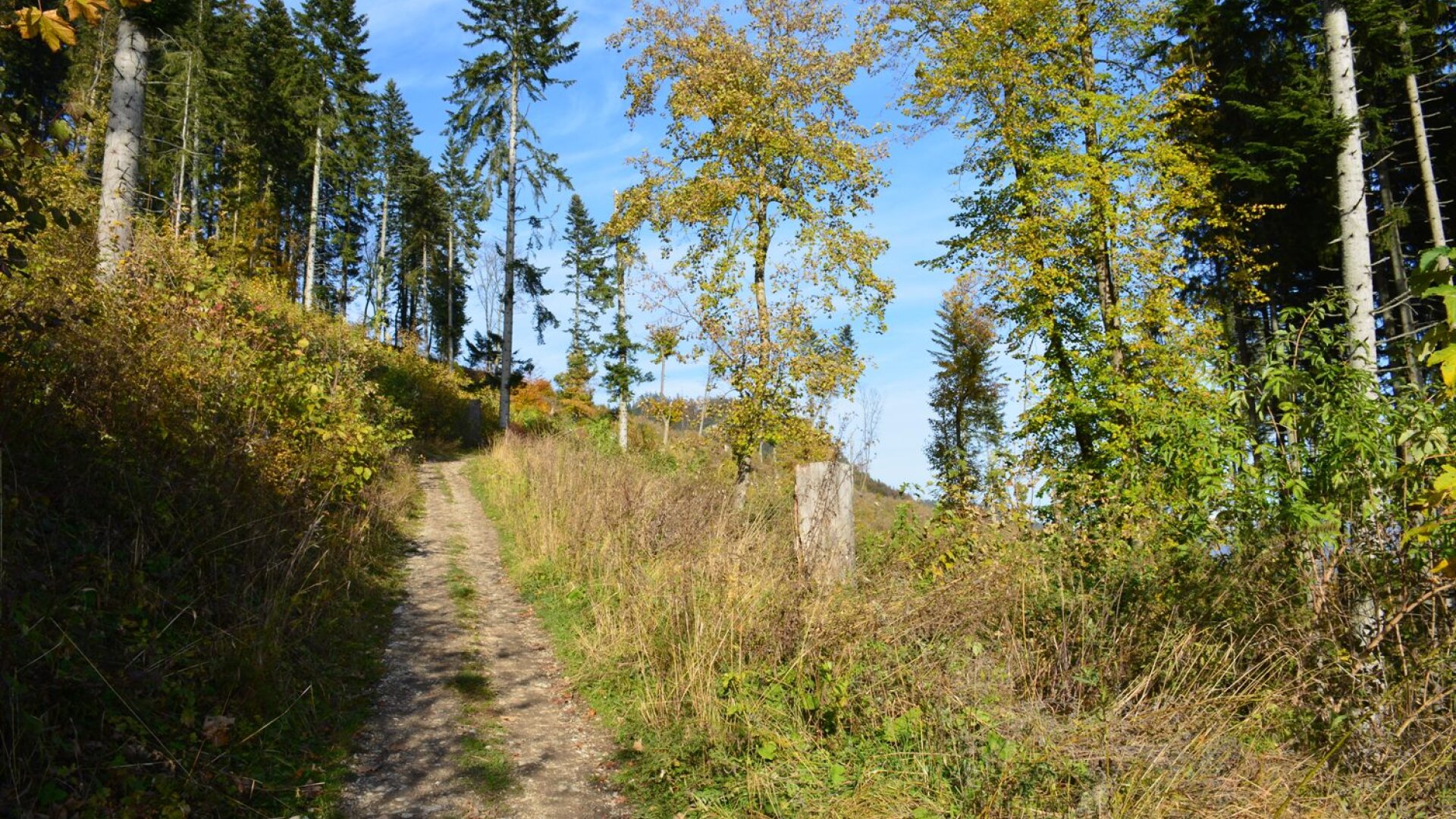
Kalamenská valley. It was created by the Kalamenianka stream, between the Plieška massifs (977 m above sea level) and the Sielnická mountain (1051 m above sea level). It is 7 km long. Plieška is a conical hill between Lúčky and Kalamen. Relatively steep, partly deforested slopes are built of lower Cretaceous rocks, only the top of the valley is made up of Choča dolomites. At the mouth of the valley springs a mineral spring, popularly known as the honeysuckle. The spring near the stream on the border of the Liptov Basin and Chočské vrchy was opened to the public after the construction of a geothermal well in 2000 and the construction of a small lake. The water is mineralized and its temperature reaches about 33 degrees Celsius. The lake does not freeze even in winter and is used all year round.
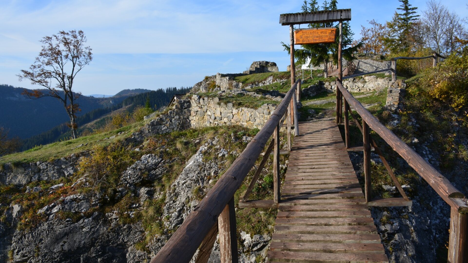
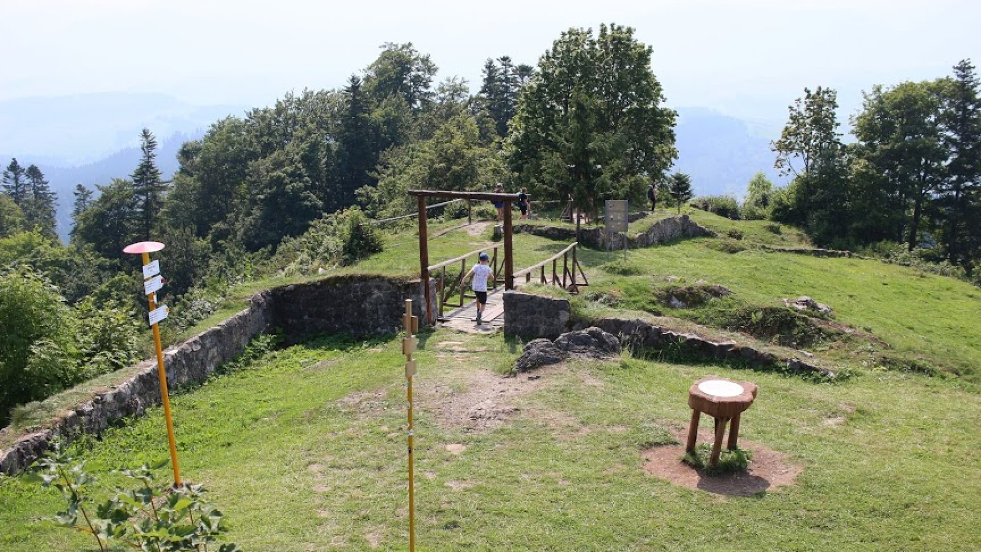
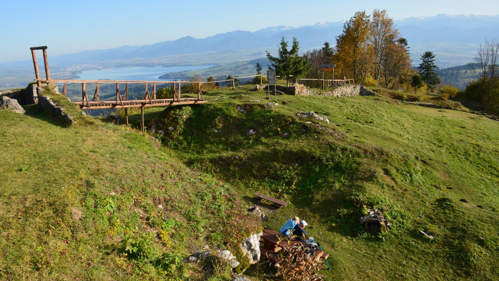
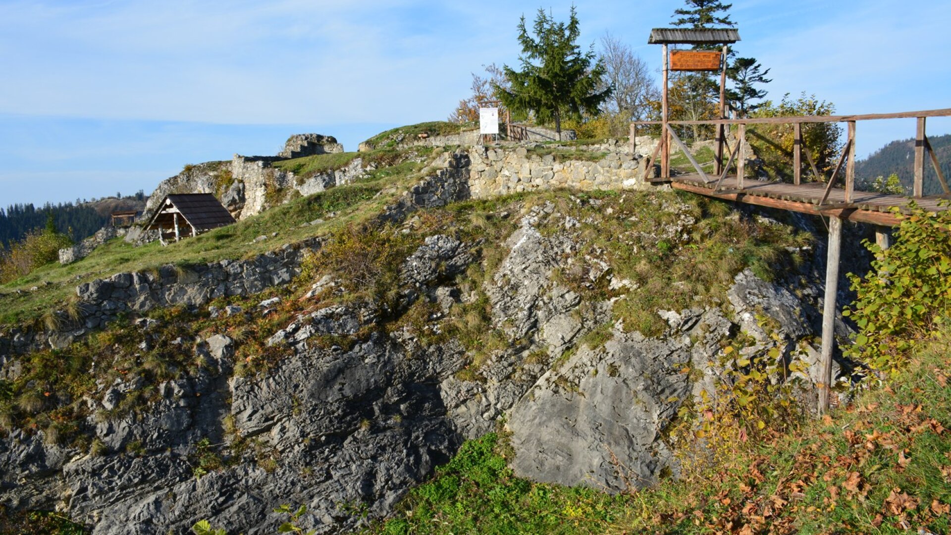
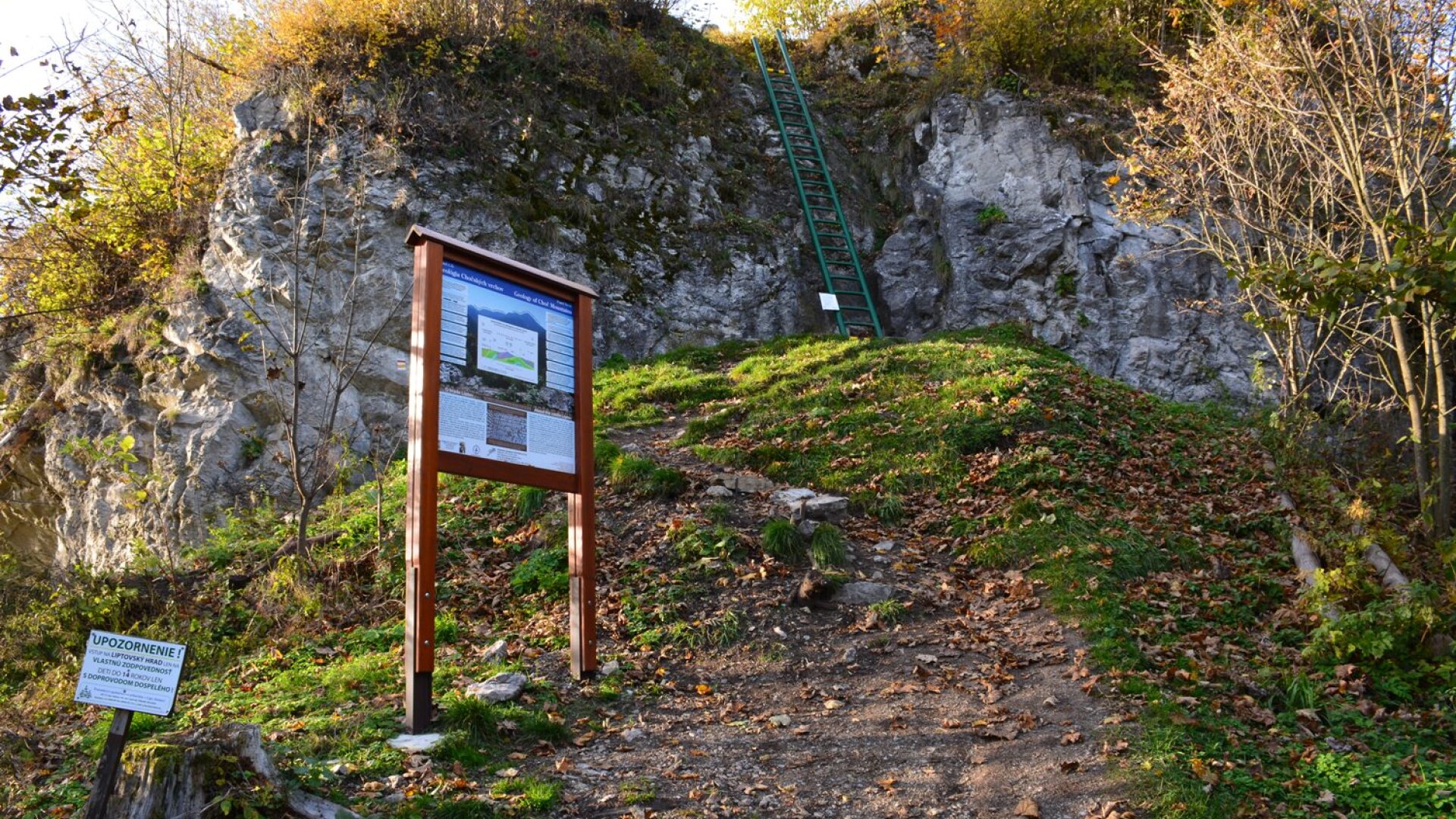
Liptovský hrad (Starhrad, Liptov castle, Liptovský staré hrad, Velký hrad liptovský, Sielnický hrad.). The ruins of the castle are located on the hill Sestrč (currently in the cadastral area of Liptovská Sielnica). The castle was built primarily to protect the trade route leading from Liptov to Orava. It had a strategic position ensuring optical control of the entire Liptov basin. It was the highest royal medieval castle in Slovakia (999.96 m above sea level). The archeological exposition in nature at the castle is an extended exposition of the Liptov Museum in Ružomberok and the entrance to the castle complex is free. Archaeological excavations have shown that the castle was architecturally and technically unique, unparalleled in Slovakia. After the suppression against the royal conspiracy in 1471, the castle was conquered by King Matej Korvín and had it completely destroyed. Only the foundations of the walls have been preserved. The castle consisted of a residential tower, a water tank, a small courtyard and two gates. These parts of the castle are exposed and open to the general public. Below the Sestrč peak there is a cave, which was inhabited as early as the Eneolithic, ie in the Late Stone Age. With good visibility, the castle offers a beautiful view of Orava in the background with Baba Hora, the Low Tatras, the Liptov basin with the dominant reservoir Liptovská Mara and in the west Veľký Choč (1,609 m). The castle grounds are a national cultural monument. The Castrum Liptov Civic Association takes care of the rescue as well as the care of the remains of the castle.
Lucan travertines. Travertine formations declared a natural monument in 1975 on an area of 3.76 ha were formed by the gradual deposition of calcium carbonate from mineral springs in the system of faults between the Choč Hills and the Liptov Basin. There are several springs, the temperature of which ranges from 17 to 33 ° C and a total flow of about 30 l / s. The main fault conditioning the origin of the springs is the Lučany fault in the direction NNW - SSE. A layer of travertines with a thickness of 40 to 50 m. We know from historical sources that there were two quarries in Lúčky, in which Lúčany travertine was mined not only for local use, but also for export. From the 1930s it was mined only for local purposes, in 1963 mining was banned due to the risk of disturbing the groundwater regime. The locality consists of two distinctive rock walls Zápoly and Skalničky with a flat ridge Skálie. In the travertine there are preserved imprints of leaves and small animals.
Liptov basin. One of the three geomorphological subunits of the Podtatranská kotlina, delimited roughly between Ružomberok, Važec, Štrbské sedlo, Pribylina and Kvačany; with the remaining two parts it borders in the east - with the Poprad Basin - and in the northeast - the Tatra foothills. It is also adjacent to the Great Fatra, the Low Tatras, the Goat Backs, the Western Tatras and the Choč Hills. It is a massive tectonic depression lying at altitudes of about 470 - 900 m above sea level. sandstones and claystones). These locally and with small Mesozoic islands (Hrubý grúň) protrude more significantly above the undulating relief with long flat ridges to plateaus and have the character of up to the highlands. In the area of some faults there are travertines (Lúčky, Bešeňová, Liptovské Sliače).

 Slovak
 Czech
Czech
 Hungarian
 German