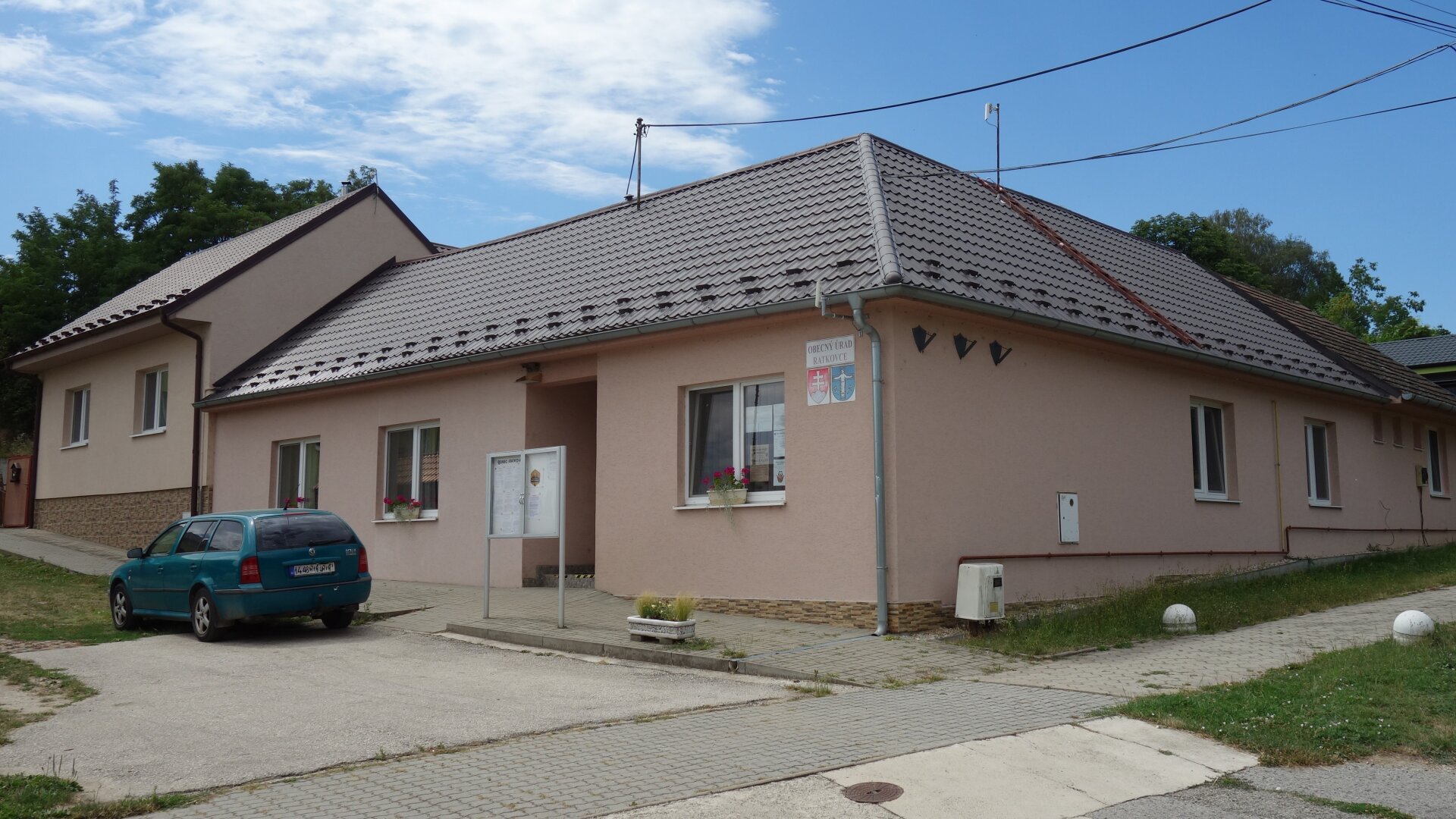
Ratkovce is located in the Danubian Lowland on the right bank of the river Dudváh, on the eastern edge of the Trnava loess board, at an altitude of 157 m. The total area of the Ratkov area is 445.2511 ha. Of which 28.5358 ha in the built-up area of the municipality (built-up area of the municipality) and 416.7153 ha in the built-up area of the municipality (outside the built-up area of the municipality). The village is bordered on the north by Pečeňady, on the east by Červeník, on the south by Žlkovce and on the west by Jaslovce and Bohunice (today Jaslovské Bohunice).
Ratkovce is located in the Danubian Lowland on the right bank of the river Dudváh, on the eastern edge of the Trnava loess board, at an altitude of 157 m. The total area of the Ratkov area is 445.2511 ha. Of which 28.5358 ha in the built-up area of the municipality (built-up area of the municipality) and 416.7153 ha in the built-up area of the municipality (outside the built-up area of the municipality). The village is bordered on the north by Pečeňady, on the east by Červeník, on the south by Žlkovce and on the west by Jaslovce and Bohunice (today Jaslovské Bohunice).
The village has a relatively good bus connection with the regional city of Trnava and also with Piešťany and Hlohovec as district cities. A few kilometers from Ratkoviec lies the town of Leopoldov, which is an important railway junction in the Slovak Republic - it is also a fast stop, so the train connection from Ratkoviec in combination with a bus is within reach. To the west of Ratkovce there is the Jaslovské Bohunice nuclear power plant, whose cooling towers can be seen in a wide area.

 Slovak
 Czech
Czech
 Hungarian
 German