The river Búr flows through the village, which springs in the Danubian Uplands, then flows south through the villages of Brhlovce, Bory (there is a nameless tributary from the right), Santovka, where the Domanický brook rises on the left and at Malinovec also Malinovský brook on the left side (138.4 m above sea level). ). Subsequently, it flows through Demandice, takes the right-hand Kamenná, then only the Hybecký stream from the left. It flows through the village of Sazdice, south of it, it turns sharply to the east and, through a large arc, it empties near the village of Kubáňovo to Ipľa (116.2 m above sea level).
Brhlovce are located in a large geological area of volcanic origin, formed by Tertiary volcanic activity. From liquid lavas and volcanic ash, sedimentation formed layers of trachyte and porous andesite tuffs and tuffites, which are soft and porous rocks.
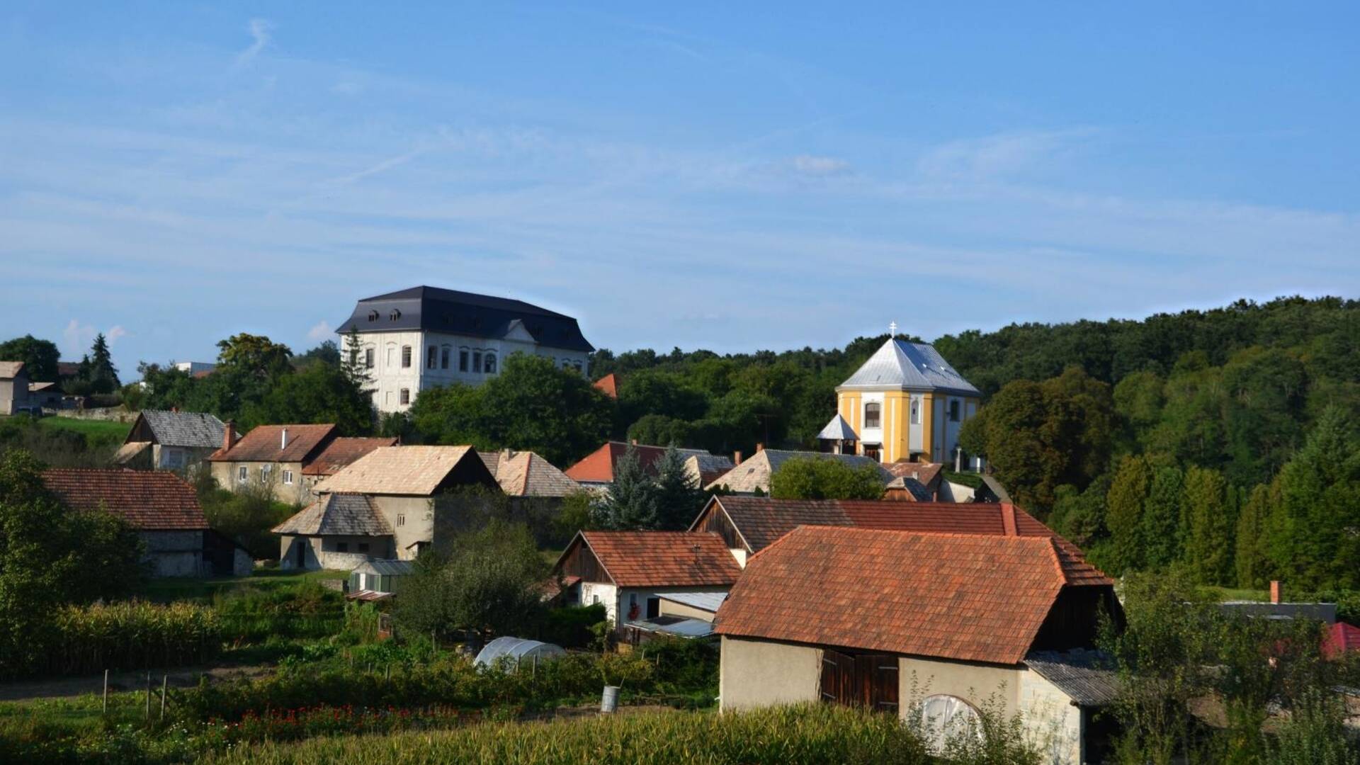
The village is surrounded by fields, meadows and for the most part by a mountain. Of the soil types, chernozem predominates in this area. Most of them are medium-heavy soils with a very good air and water regime and structure.

 Slovak
 Czech
Czech
 Hungarian
 German