EN EN
0 ratings
Tourism
The second highest Malokarpatska sedemstovka is called Vysoká. It is located above the village of Kuchyňa, proudly stands out over the vast surroundings and contrasts sharply with the neighboring hills. Characteristic features of Vysoká hill are steep slopes with typical rock walls, through which grass grows somewhere.

Vrch Vysoká

The second highest Malokarpatska sedemstovka is called Vysoká. It is located above the village of Kuchyňa, proudly stands out over the vast surroundings and contrasts sharply with the neighboring hills. Characteristic features of Vysoká hill are steep slopes with typical rock walls, through which grass grows somewhere.

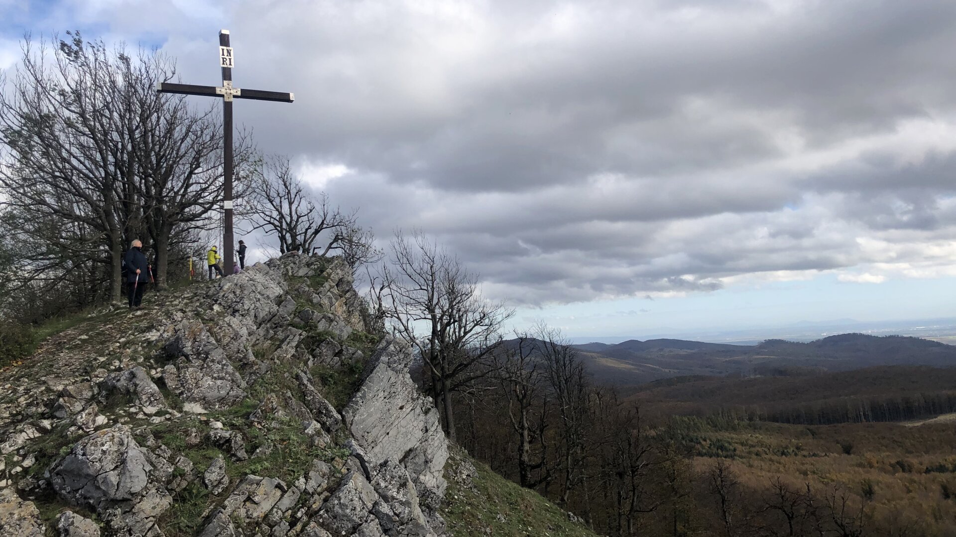
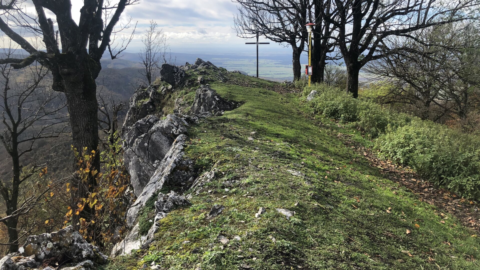
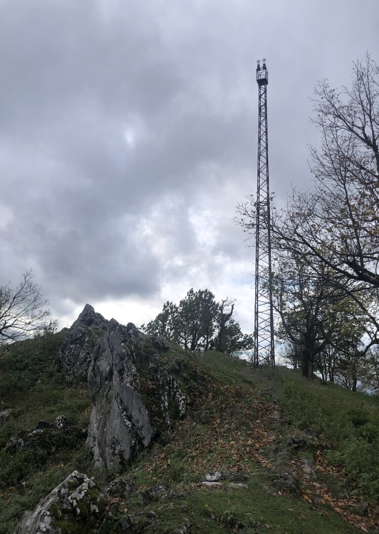
The peak offers extensive and impressive views of the Lesser Carpathian relief, Tribeč, Považský Inovec or the Danube uplands, which will become an unforgettable experience for many tourists.

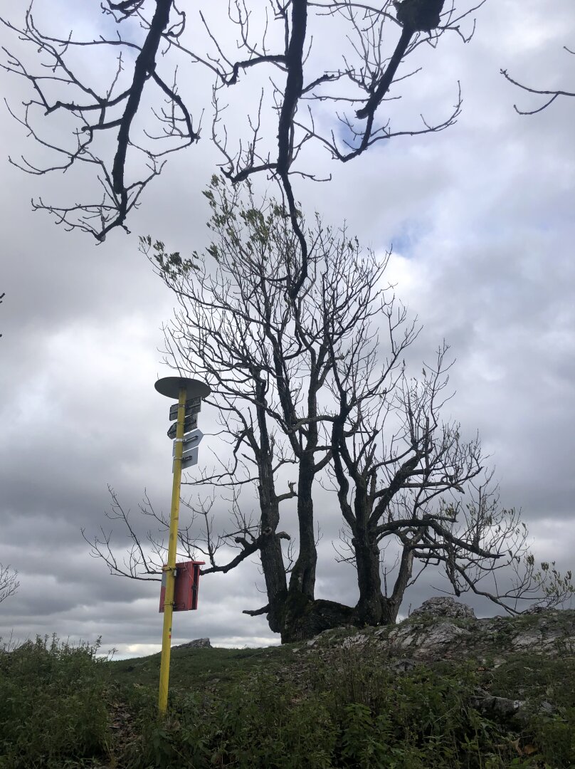
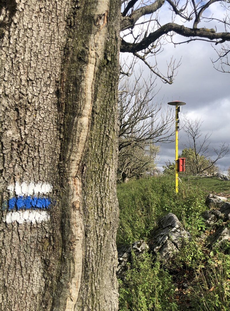
Two marked hiking trails lead to the Vysoká hill (754 m above sea level). At your own discretion and condition, you can choose a shorter route along the blue sign from the village of Kuchyna, or the exit from the east side along the red sign.

The recreational tourists can also climb the Vysoká hill, only the last ascent meters will require a little more force. Anyway, whether you choose the blue or red sign, the ascent to the top will take about 2-3 hours.

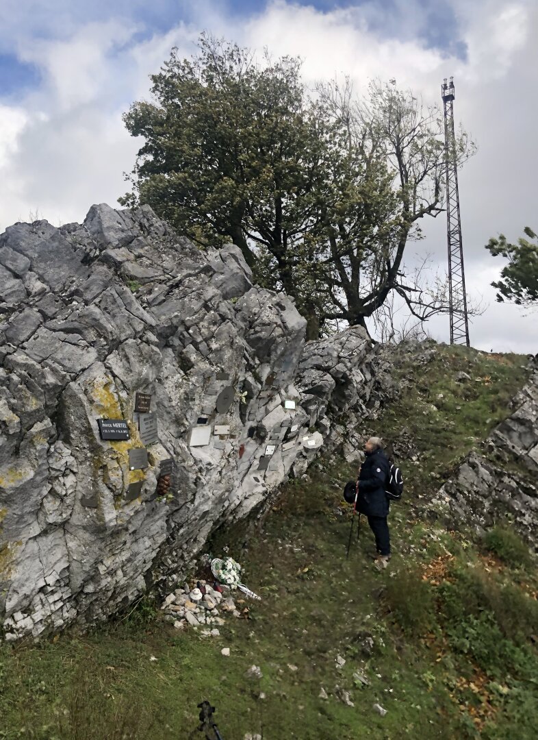
Just a short distance below the peak of Vysoká there is also a smaller symbolic cemetery. Pinned tables on the top rock remind many enthusiasts and lovers of nature, mountains and hiking.

Additional information

Transport: By foot, By bike


Suitable for: Families with childrens, Elderly, Handicapped, Young, Adults
Season: Spring, Summer, Autumn, Winter
Updated on: 4.11.2023
Source: Kam na výlet

Opening hours

Weather

monday - sunday:
Nonstop


Contact

Vrch Vysoká
Malé Karpaty, Vysoká
Kuchyňa
Region: Bratislavský
District: Malacky
Area: Záhorie
 48.4166, 17.21653

Malé Karpaty, Vysoká
Kuchyňa

Show contact

tips on experience around Events