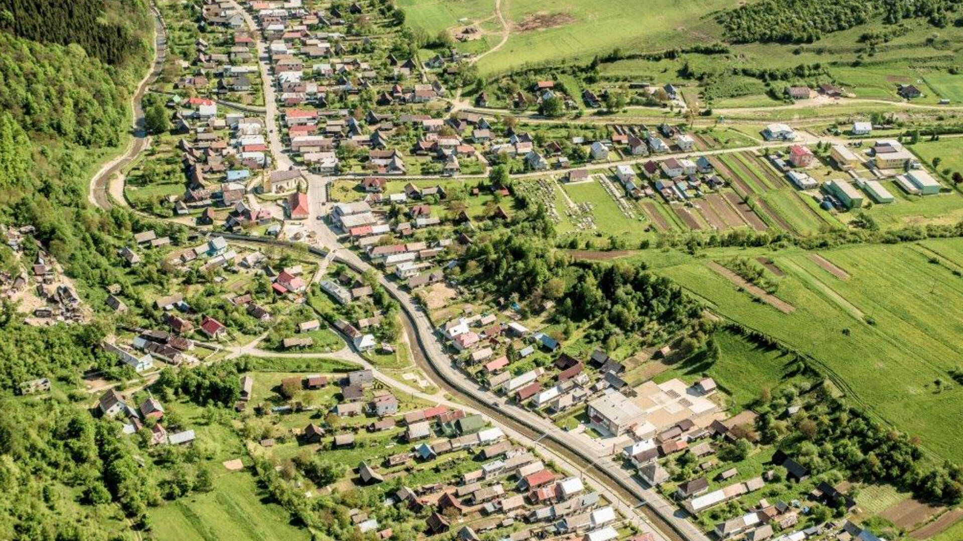
It is located at an altitude of 520 m above sea level on the border of the Šariš Highlands, Bachurne, Branisko and Levočské vrchy, in the valley of the Slavkovský brook. The name of the village is derived from the Slavic personal name Slavk, Slavek, or Slavko, reminiscent of the founding family - the Slavkay family, which lasted until the 19th century.
It is located at an altitude of 520 m above sea level on the border of the Šariš Highlands, Bachurne, Branisko and Levočské vrchy, in the valley of the Slavkovský brook. The name of the village is derived from the Slavic personal name Slavk, Slavek, or Slavko, reminiscent of the founding family - the Slavkay family, which lasted until the 19th century.

 Slovak
 Czech
Czech
 Hungarian
 German