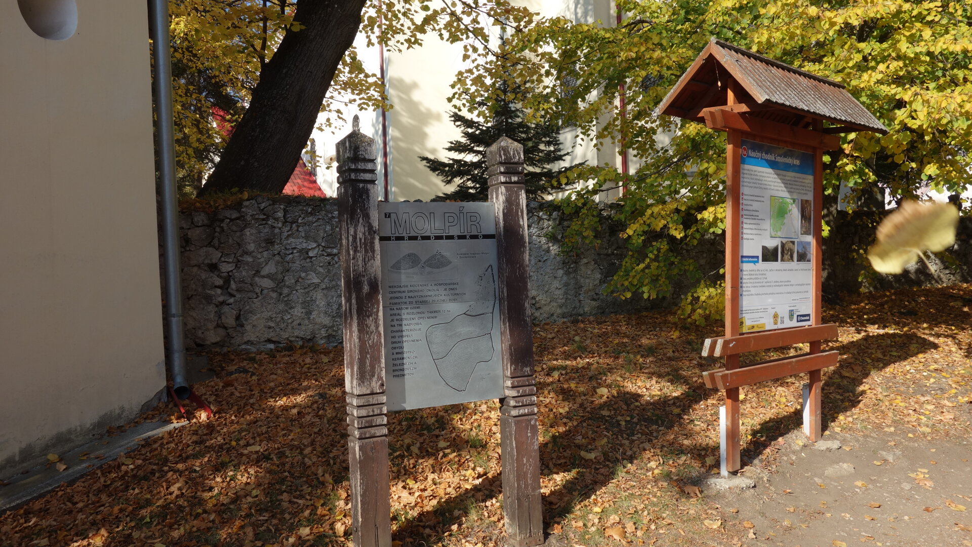
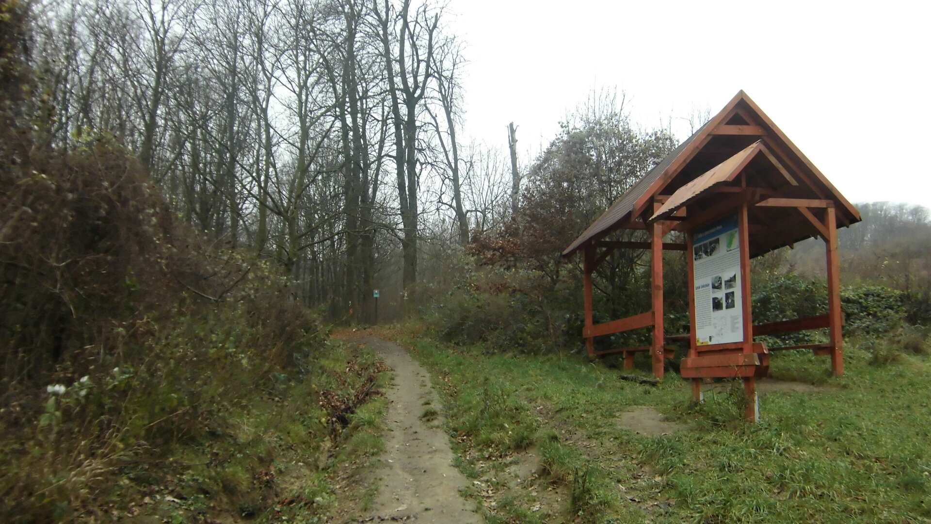
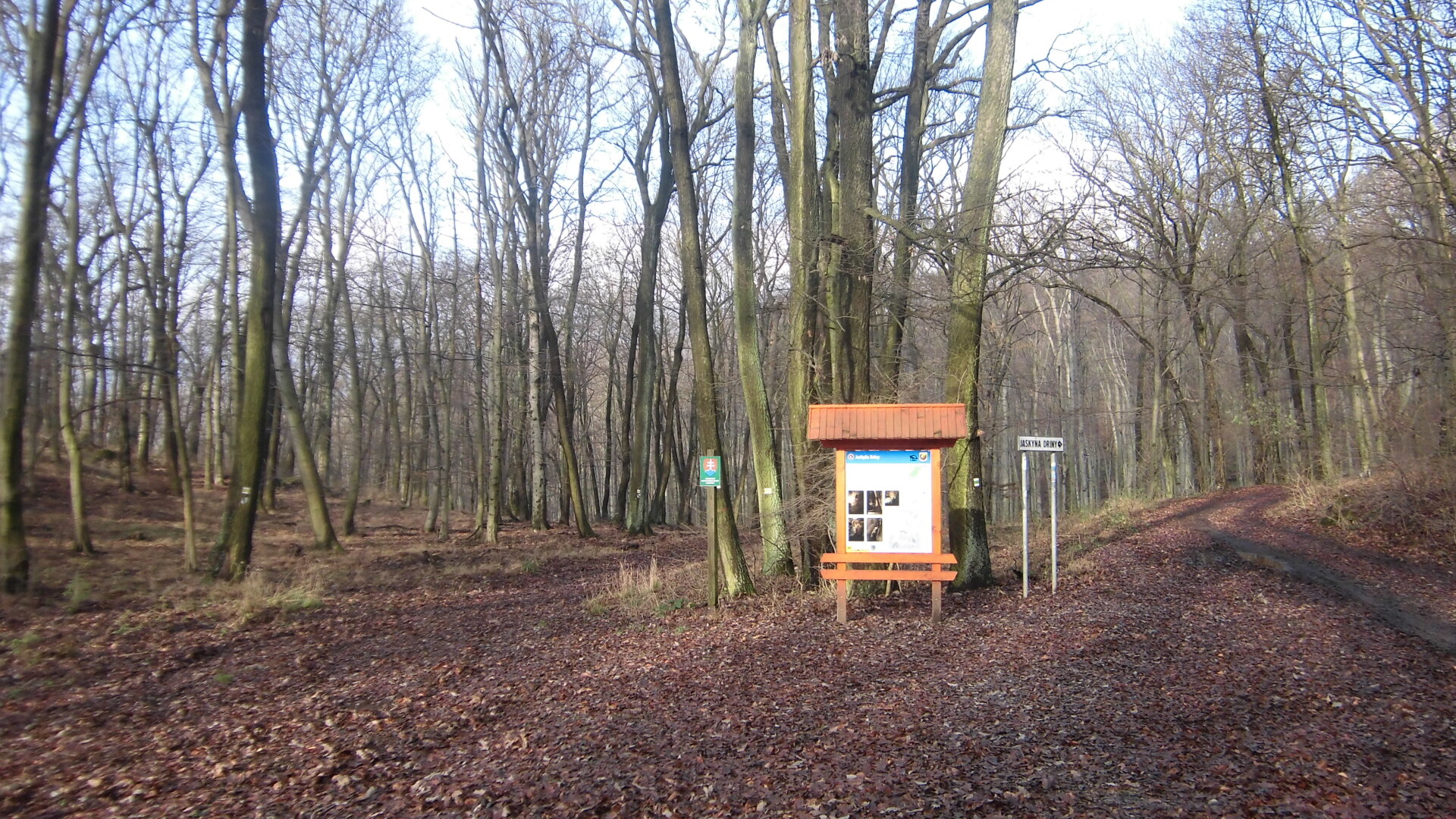
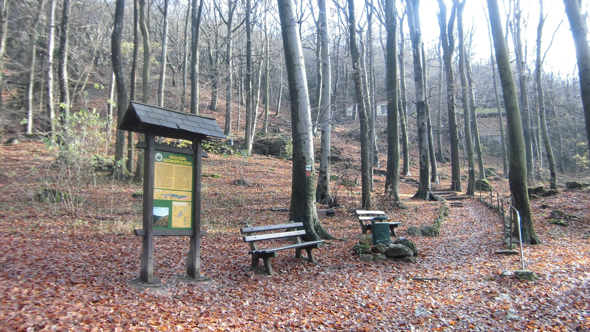
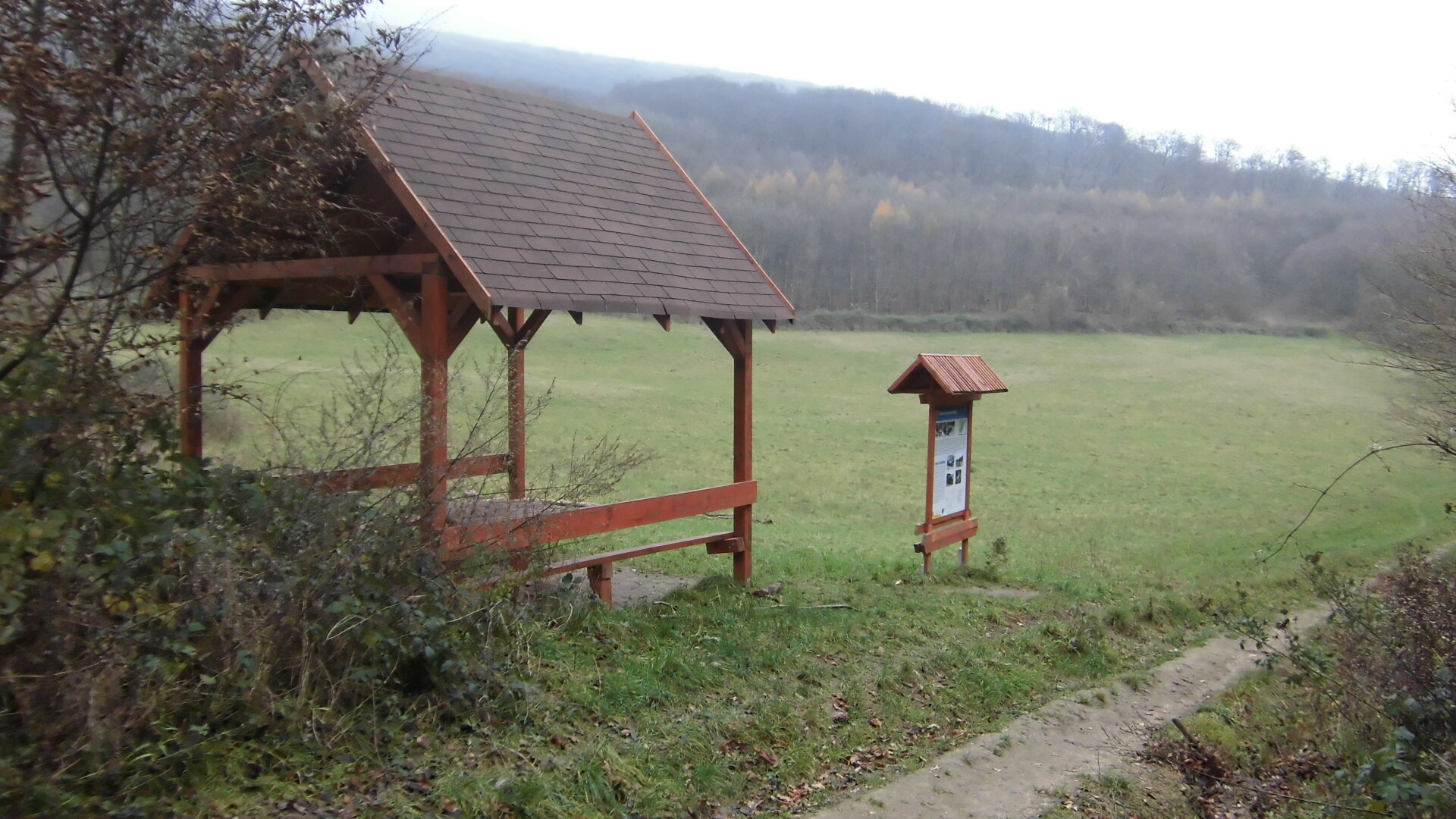
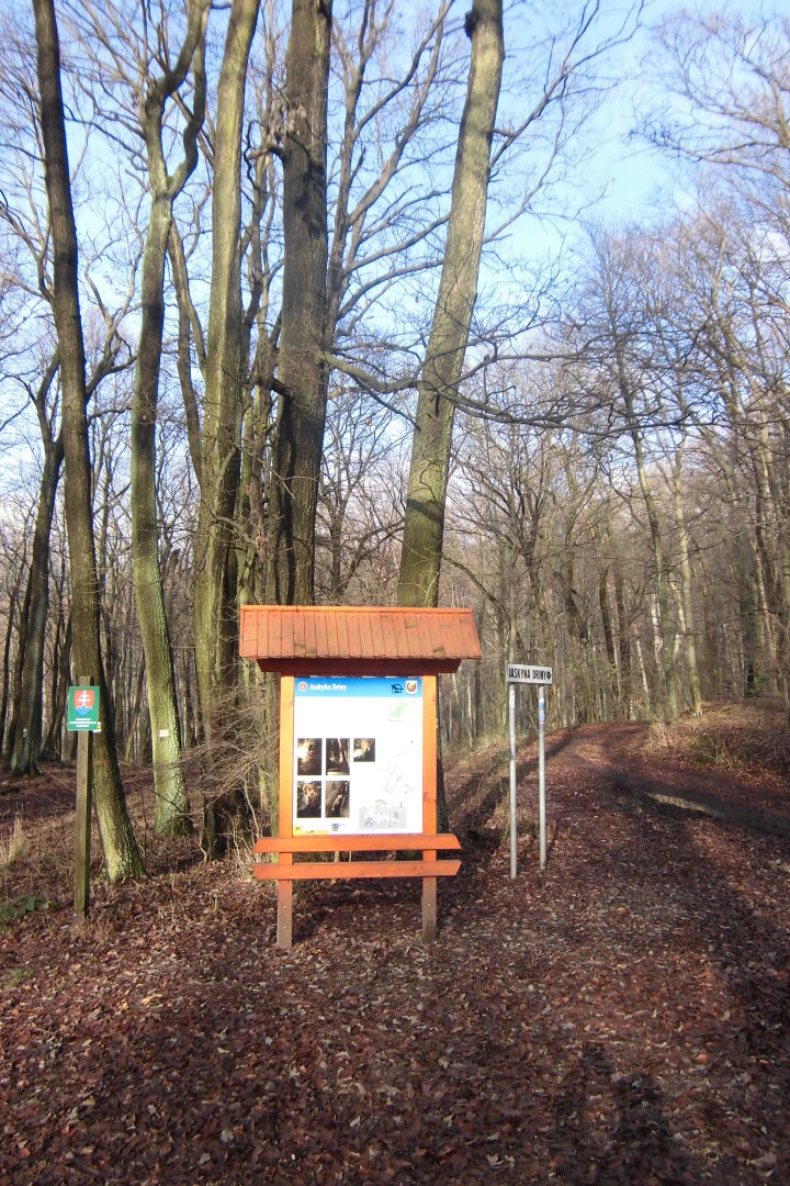
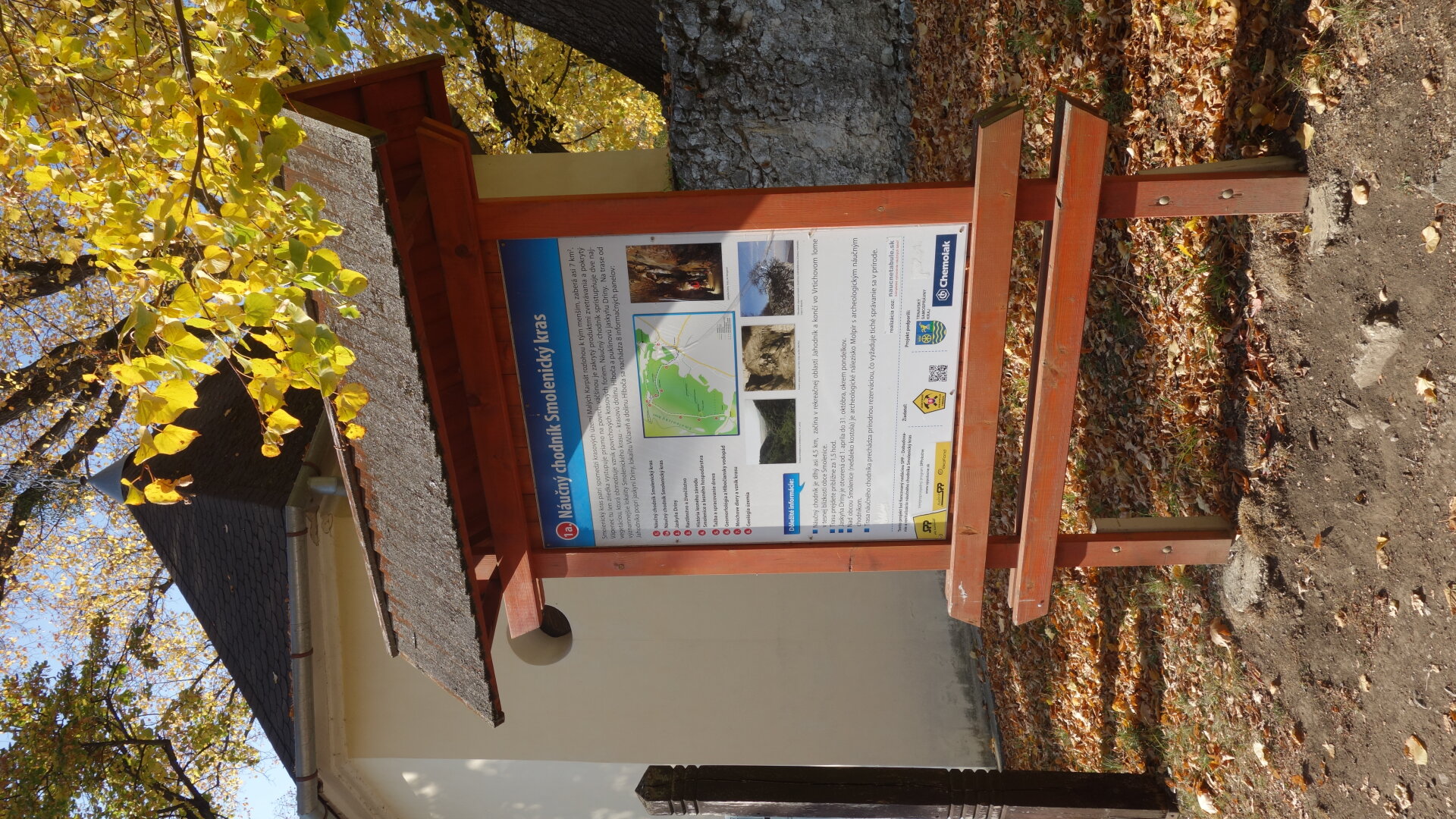
The length of the nature trail is 4.5 km with an elevation of about 100 m. It starts in the recreational area Jahodník and ends in the Vrtich quarry on the outskirts of the village Smolenice. It leads along the yellow and blue mark of the tourist trail with a built gazebo on the Vlčiareň meadow about halfway along the route. It contains 8 information boards and 9. (1.a) is located at the Roman Catholic Church below Molpír.
The length of the nature trail is 4.5 km with an elevation of about 100 m. It starts in the recreational area Jahodník and ends in the Vrtich quarry on the outskirts of the village Smolenice. It leads along the yellow and blue mark of the tourist trail with a built gazebo on the Vlčiareň meadow about halfway along the route. It contains 8 information boards and 9. (1.a) is located at the Roman Catholic Church below Molpír.
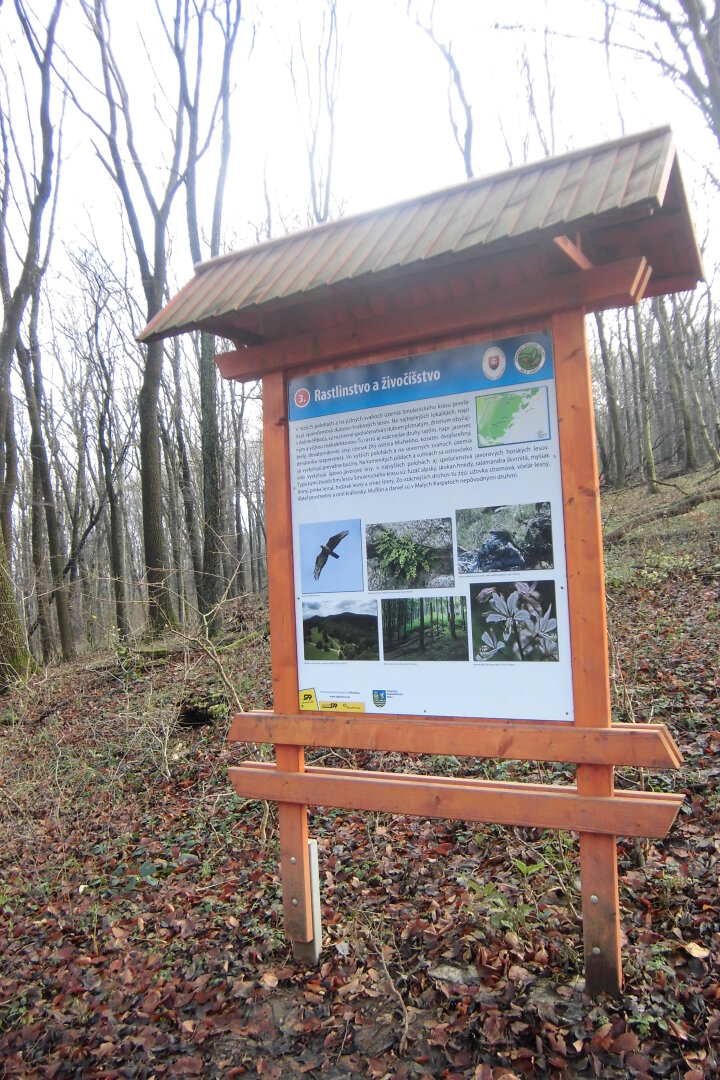
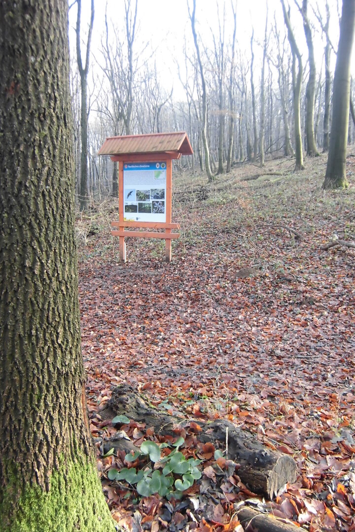
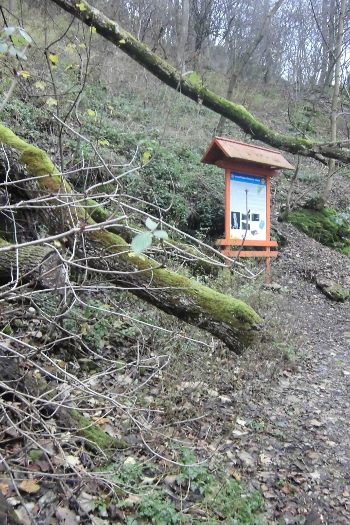
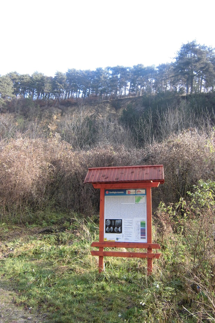
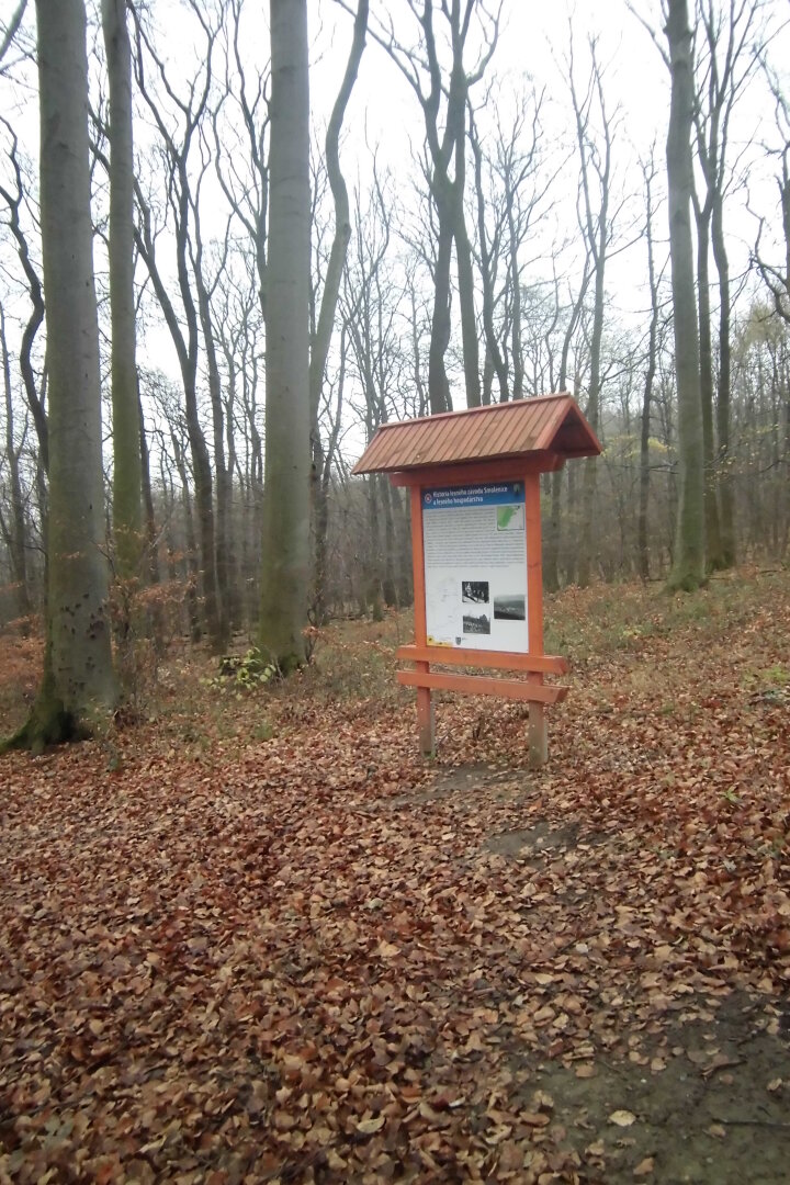
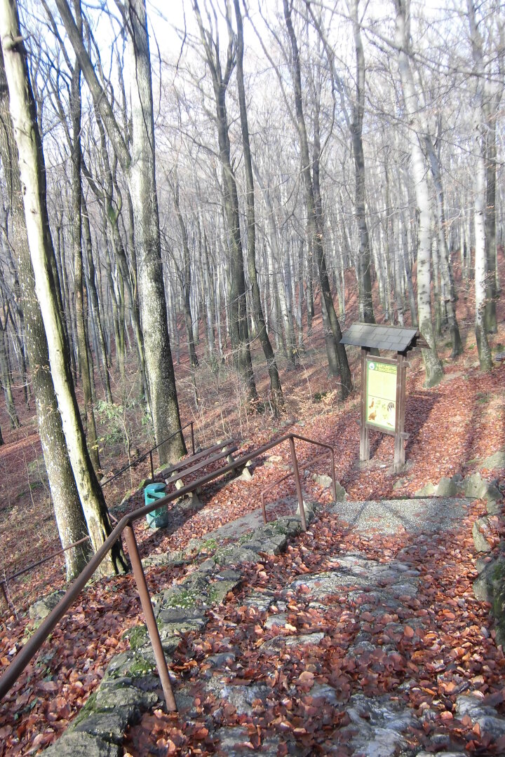
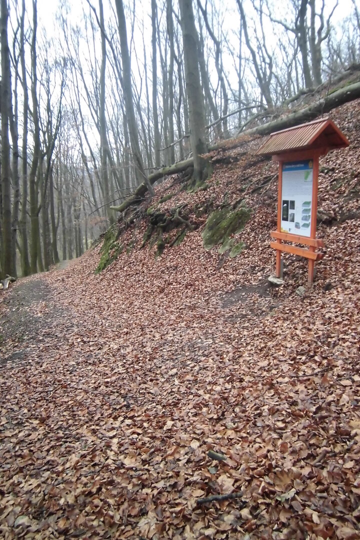
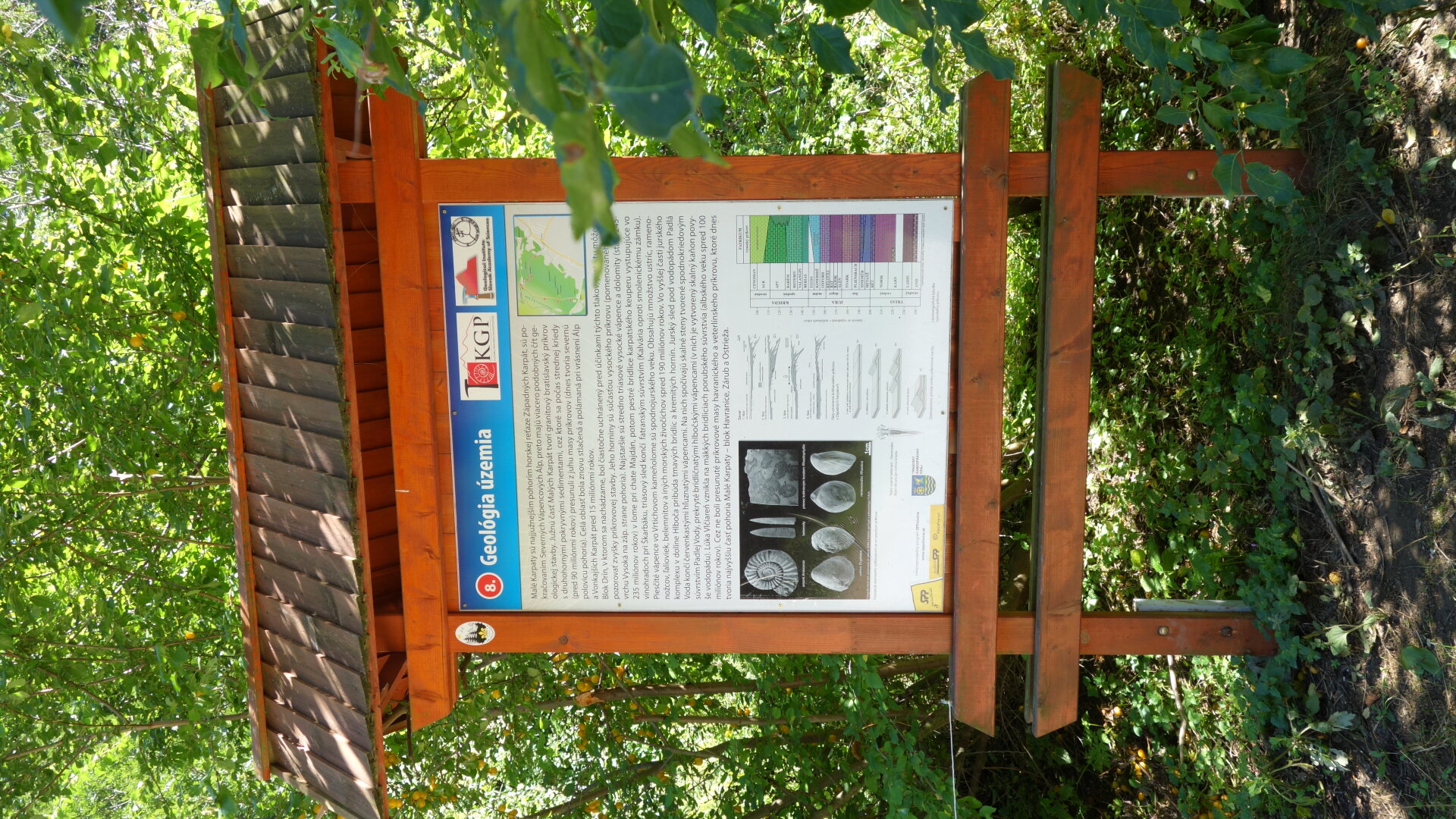
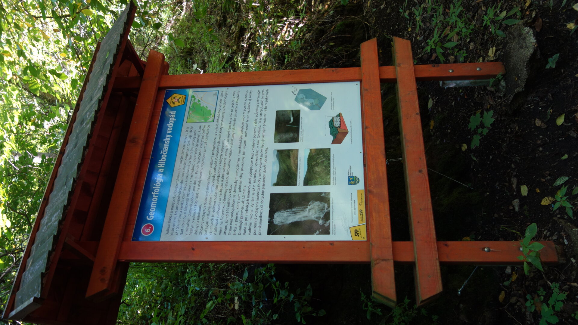
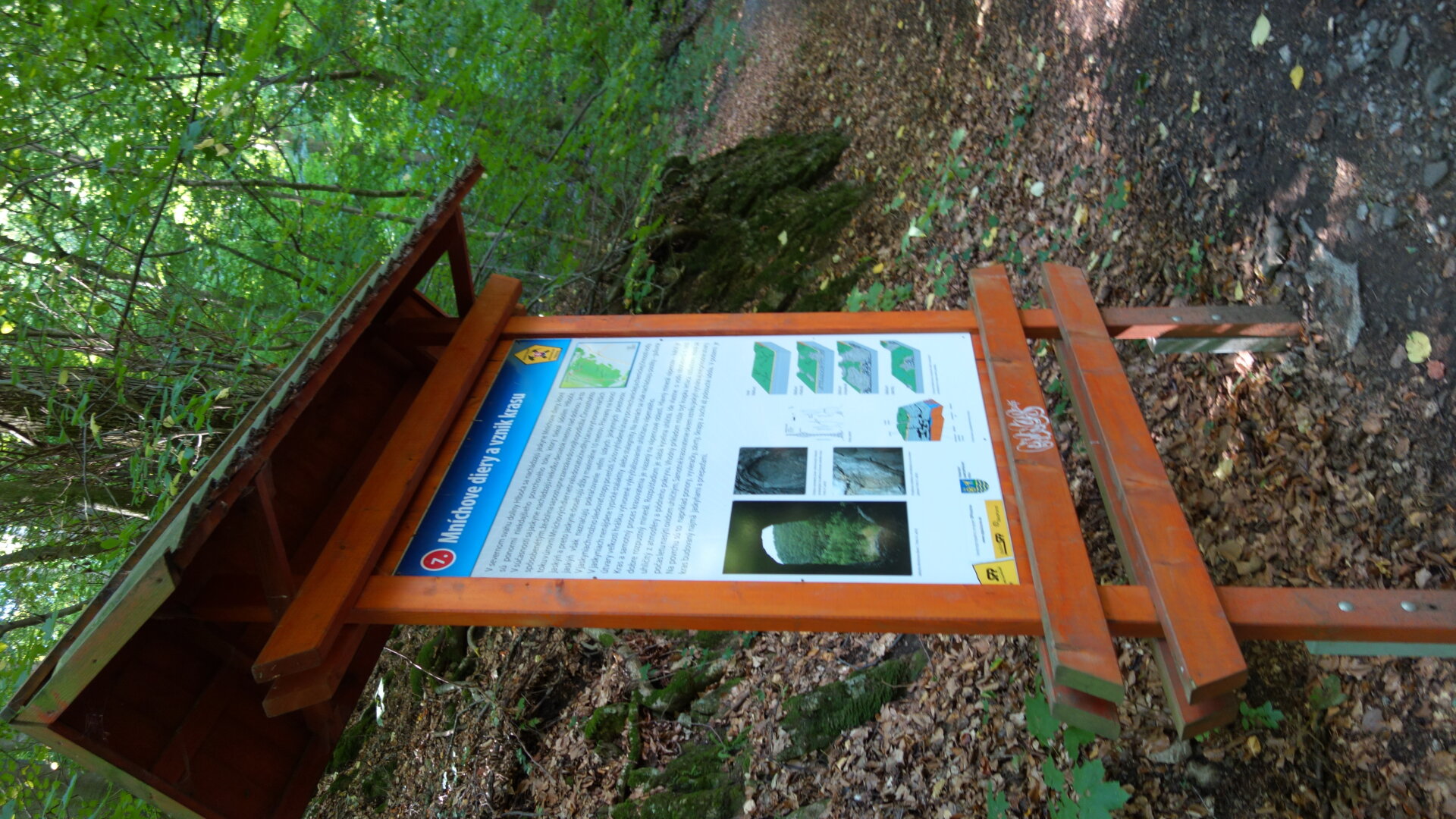
As the name of the trail suggests, the boards deal with the Smolenice karst, starting with the Drina cave, the Hlboče karst valley with the only occasional waterfall in the Little Carpathians, above which there are torsion pots, the origin of the Munich Hole caves and the overall geological and geomorphological development. Information on flora and fauna in this karst area is supplemented with the indication of some important protected species and also from the field of forestry with information on the history of forestry, work in forests and forest railways.

 Slovak
 Czech
Czech
 Hungarian
 German