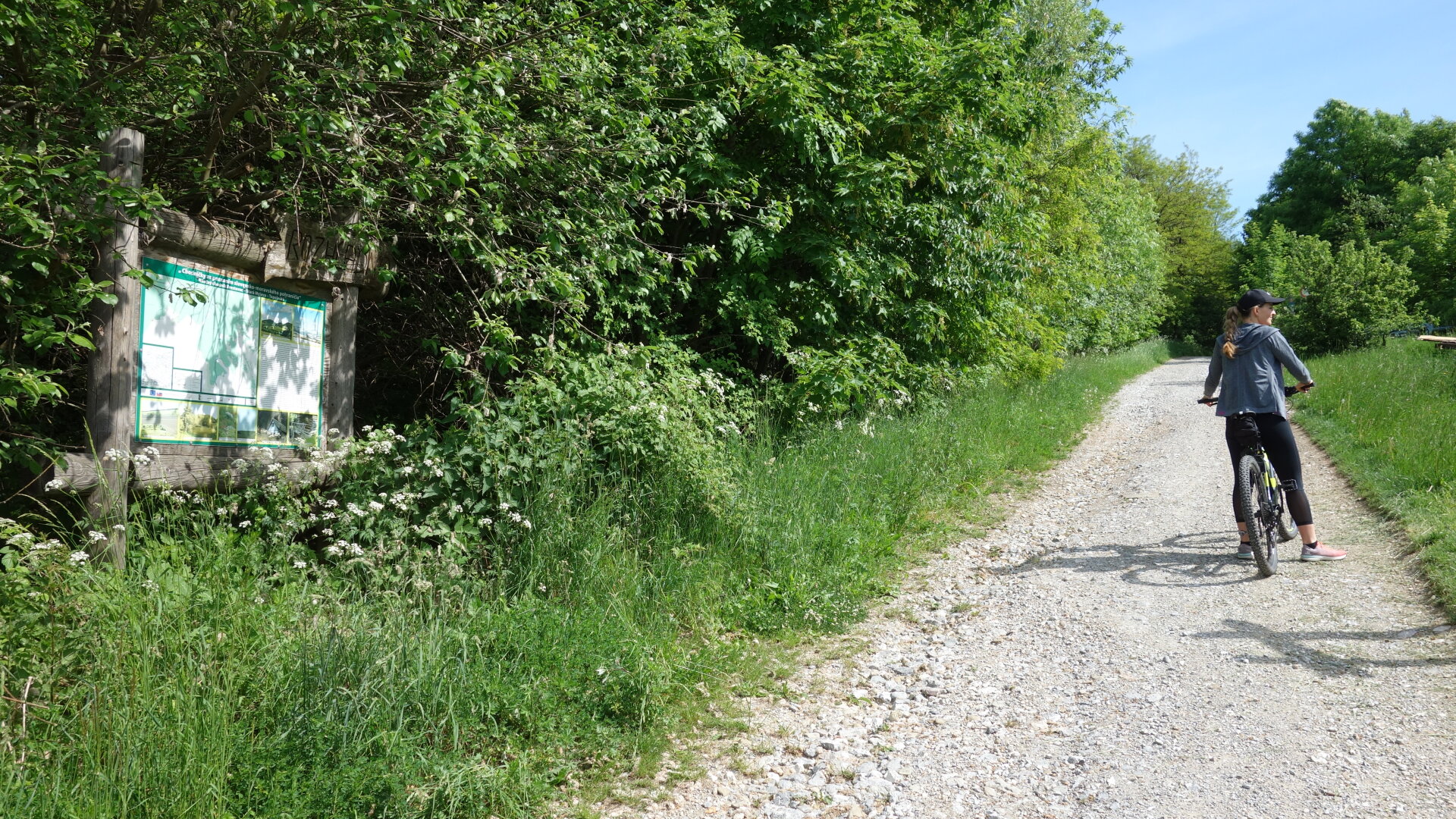
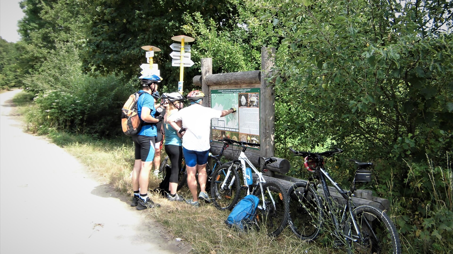
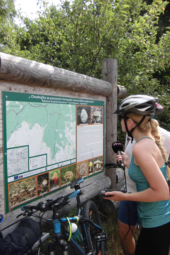
Route: Brestovec, Poľana - lookout tower Poľana - Nová hora (646 m asl) - crossroads Kúžok (M × F) - Stará Myjava (bus, water reservoir, recreational and ski resort) - Prídolie (crossroads W × W) - turn-off through Narcie to the settlement Stará Turá, Topolecká (stop 7) and back - zemľanky - Order, railway station. Length, elevation: including a turnoff to Topolecká (to stop 7) and back - 21 km, elevation 515 m; without it - 15.6 km, elevation 330 m.
Route: Brestovec, Poľana - lookout tower Poľana - Nová hora (646 m asl) - crossroads Kúžok (M × F) - Stará Myjava (bus, water reservoir, recreational and ski resort) - Prídolie (crossroads W × W) - turn-off through Narcie to the settlement Stará Turá, Topolecká (stop 7) and back - zemľanky - Order, railway station. Length, elevation: including a turnoff to Topolecká (to stop 7) and back - 21 km, elevation 515 m; without it - 15.6 km, elevation 330 m.

 Slovak
 Czech
Czech
 Hungarian
 German